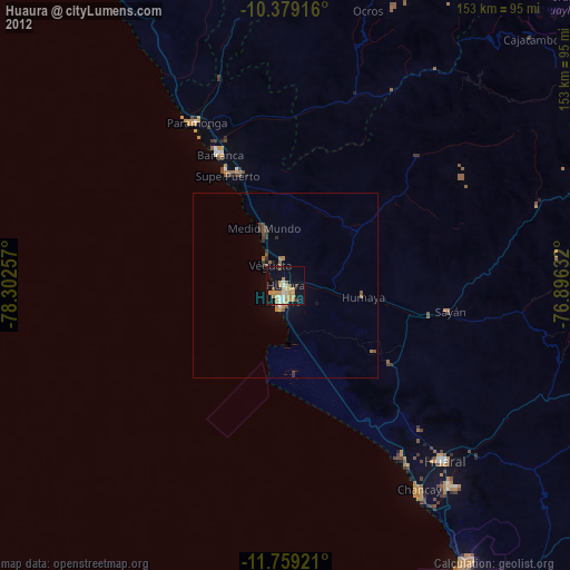
Huaura night lights from space
Night Light of Huaura (Lima region) from space (Peru) Src. Average luminocity for 10x10km area is 30.8983% and for 50x50km: 2.5137%.
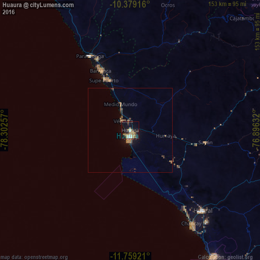
Analysis of Huaura night lights 2016
Square area 10x10 km:
 3.68%
3.68%90-99
3.9%80-89
2.16%70-79
3.9%60-69
13.2%50-59
1.52%40-49
1.08%30-39
4.98%20-29
6.28%10-19
31.17%0-9
28.14%Square area 50x50 km:
0.16%90-99
0.17%80-89
0.12%70-79
0.2%60-69
1.15%50-59
0.2%40-49
0.46%30-39
0.29%20-29
0.58%10-19
2.01%0-9
94.66%Clear (daylight) street map image can be seen on geolist.org.
Map coordinates:
10° 22' 45" South, 78° 18' 9.3" West
11° 4' 12" South, 77° 35' 58" West
11° 45' 33.2" South, 76° 53' 46.8" West
Some cities around Huaura sort by population:
• Huacho
4.1 km =2.5 mi,  188°
188°
• Barranca
40 km =24.9 mi,  332°
332°
• Hualmay
3.3 km =2.1 mi,  208°
208°
• Supe
32.7 km =20.3 mi,  337°
337°
• Puerto Supe
33.7 km =20.9 mi, 332°
• Végueta
7.2 km =4.5 mi,  317°
317°
• Sayán
44.7 km =27.8 mi,  99°
99°
• Caleta de Carquín
3.9 km =2.4 mi,  229°
229°
3939023 (p: 20,723)
Sources (retrieved 2019-11-25):
» Earth at Night: Flat Maps 2012, 2016