La Palma night lights from space
Night Light of La Palma (Darién) from space (Panama) Src. Average luminocity for 10x10km area is 0.6322% and for 50x50km: 0.133%.
Analysis of La Palma night lights 2016
Square area 10x10 km:
 0%
0%90-99
0%80-89
0%70-79
0.83%60-69
0%50-59
0%40-49
0%30-39
0%20-29
0%10-19
0%0-9
99.17%Square area 50x50 km:
0%90-99
0%80-89
0%70-79
0.03%60-69
0.03%50-59
0.07%40-49
0.03%30-39
0.04%20-29
0.03%10-19
0.03%0-9
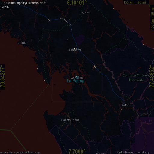
99.73%Clear (daylight) street map image can be seen on geolist.org.
Map coordinates:
9° 6' 3.6" North, 78° 50' 34" West
8° 24' 21.9" North, 78° 8' 22.7" West
7° 42' 35.6" North, 77° 26' 11.5" West
Some cities around La Palma sort by population:
• Tocumen
156.4 km =97.2 mi,  299°
299°
• Chepo
135.5 km =84.2 mi,  308°
308°
• Necoclí, CO
148.5 km =92.3 mi,  89°
89°
• Unión Chocó
75.6 km =47 mi,  118°
118°
• Nueva Esperanza
152.4 km =94.7 mi, 300°
• Riosucio, CO
155.2 km =96.4 mi,  133°
133°
• Pacora
146.9 km =91.3 mi, 300°
• El Porvenir
155.6 km =96.7 mi,  325°
325°
3707058 (p: 1,728)
Sources (retrieved 2019-11-25):
» Earth at Night: Flat Maps 2012, 2016