Riosucio night lights from space
Night Light of Riosucio (Chocó) from space (Colombia) Src. Average luminocity for 10x10km area is 0% and for 50x50km: 0%.
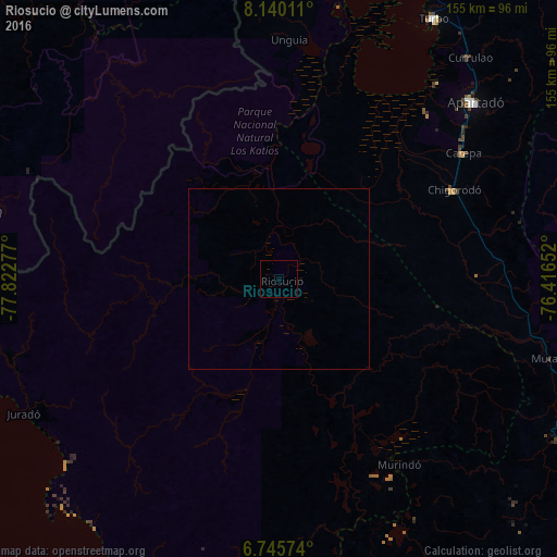
Analysis of Riosucio night lights 2016
Square area 10x10 km:
 0%
0%90-99
0%80-89
0%70-79
0%60-69
0%50-59
0%40-49
0%30-39
0%20-29
0%10-19
0%0-9
100%Square area 50x50 km:
0%90-99
0%80-89
0%70-79
0%60-69
0%50-59
0%40-49
0%30-39
0%20-29
0%10-19
0%0-9
100%Clear (daylight) street map image can be seen on geolist.org.
Map coordinates:
8° 8' 24.4" North, 77° 49' 22" West
7° 26' 36.5" North, 77° 7' 10.7" West
6° 44' 44.7" North, 76° 24' 59.5" West
Some cities around Riosucio sort by population:
• Apartadó
73.1 km =45.4 mi,  48°
48°
• Turbo
84.1 km =52.3 mi,  30°
30°
• Chigorodó
54.3 km =33.7 mi,  62°
62°
• Carepa
62.3 km =38.7 mi, 55°
• Dabeiba
106 km =65.9 mi,  117°
117°
• San Pedro de Urabá
123.5 km =76.7 mi,  41°
41°
• Necoclí
115.2 km =71.6 mi,  18°
18°
• Unión Chocó, PA
84.7 km =52.6 mi,  327°
327°
3670718 (p: 7,163)
Sources (retrieved 2019-11-25):
» Earth at Night: Flat Maps 2012, 2016