‘Ibrī night lights from space
Night Light of ‘Ibrī (Az̧ Z̧āhirah) from space (Oman) Src. Average luminocity for 10x10km area is 66.0152% and for 50x50km: 10.9386%.
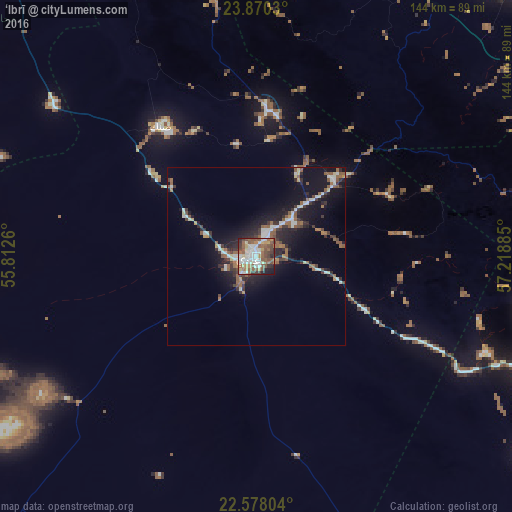

Analysis of ‘Ibrī night lights 2016
Square area 10x10 km:
 15.34%
90-99
14.77%80-89
6.25%70-79
6.44%60-69
9.09%50-59
20.83%40-49
9.85%30-39
7.58%20-29
6.25%10-19
3.6%0-9
0%Square area 50x50 km:
1.55%90-99
1.71%80-89
0.67%70-79
0.62%60-69
1.51%50-59
2.81%40-49
1.13%30-39
2.02%20-29
3.2%10-19
9.01%0-9
75.77%Clear (daylight) street map image can be seen on geolist.org.
Map coordinates:
23° 52' 13.1" North, 55° 48' 45.4" East
23° 13' 32.6" North, 56° 30' 56.6" East
22° 34' 40.9" North, 57° 13' 7.9" East
Some cities around ‘Ibrī sort by population:
• As Suwayq
116.9 km =72.6 mi,  53°
53°
• Şaḩam
111.9 km =69.5 mi,  19°
19°
• Rustaq
94.6 km =58.8 mi,  78°
78°
• Nizwá
109.1 km =67.8 mi,  107°
107°
• Bahlā’
85.2 km =52.9 mi, 108°
• Al Khābūrah
101.7 km =63.2 mi,  35°
35°
• Yanqul
40.2 km =25 mi,  3°
3°
• Bayt al ‘Awābī
103.4 km =64.2 mi,  85°
85°
287830 (p: 101,640)
Sources (retrieved 2019-11-25):
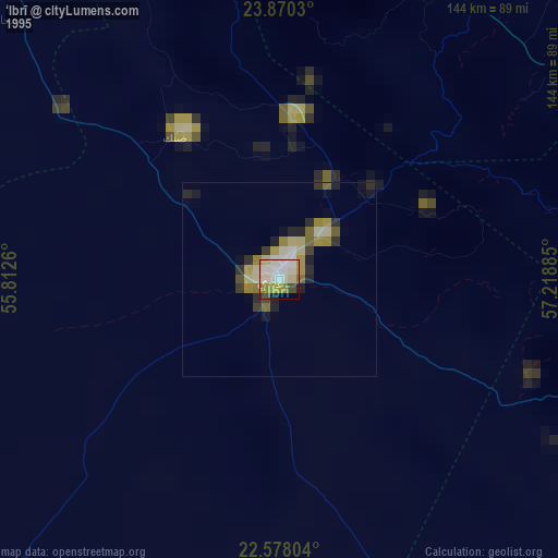
» NASA, Earths city lights 1995
» NASA city lights 2003
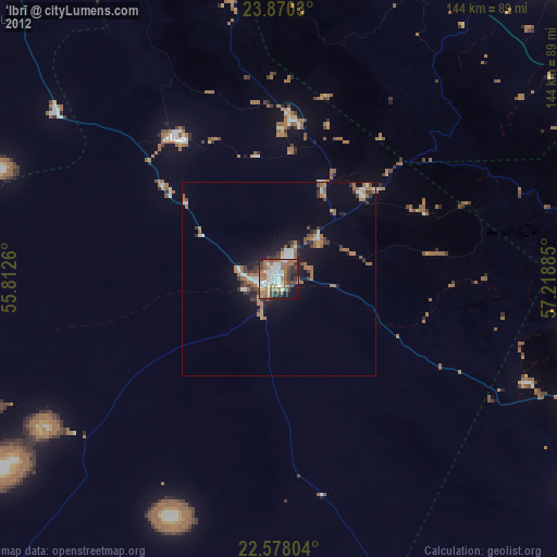
» Earth at Night: Flat Maps 2012, 2016