Bahlā’ night lights from space
Night Light of Bahlā’ (Ad Dakhiliyah) from space (Oman) Src. Average luminocity for 10x10km area is 52.1905% and for 50x50km: 18.0236%.
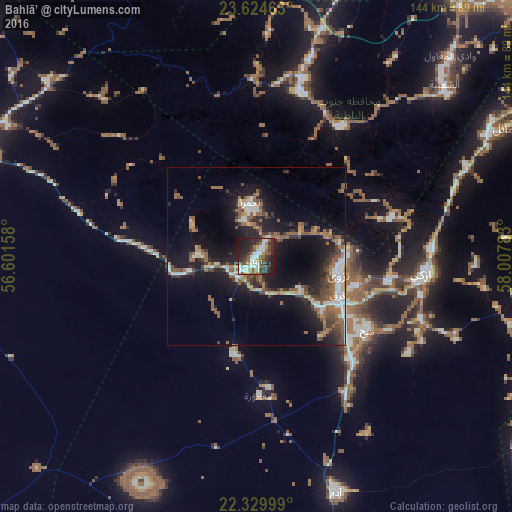
Analysis of Bahlā’ night lights 2016
Square area 10x10 km:
 12.3%
12.3%90-99
11.11%80-89
3.77%70-79
1.98%60-69
4.56%50-59
13.49%40-49
5.95%30-39
13.29%20-29
20.63%10-19
12.9%0-9
0%Square area 50x50 km:
2.29%90-99
2.58%80-89
1.28%70-79
1.24%60-69
3.01%50-59
4.64%40-49
2.44%30-39
3.37%20-29
5.38%10-19
14.52%0-9
59.24%Clear (daylight) street map image can be seen on geolist.org.
Map coordinates:
23° 37' 28.7" North, 56° 36' 5.7" East
22° 58' 43.9" North, 57° 18' 16.9" East
22° 19' 48" North, 58° 0' 28.2" East
Some cities around Bahlā’ sort by population:
• ‘Ibrī
85.2 km =52.9 mi,  288°
288°
• Rustaq
47.4 km =29.5 mi,  14°
14°
• Nizwá
23.9 km =14.9 mi,  102°
102°
• Sufālat Samā’il
81.9 km =50.9 mi,  62°
62°
• Izkī
47.6 km =29.6 mi, 96°
• Oman Smart Future City
80.7 km =50.1 mi,  21°
21°
• Adam
70.5 km =43.8 mi,  161°
161°
• Bayt al ‘Awābī
42.5 km =26.4 mi,  31°
31°
288899 (p: 54,338)
Sources (retrieved 2019-11-25):
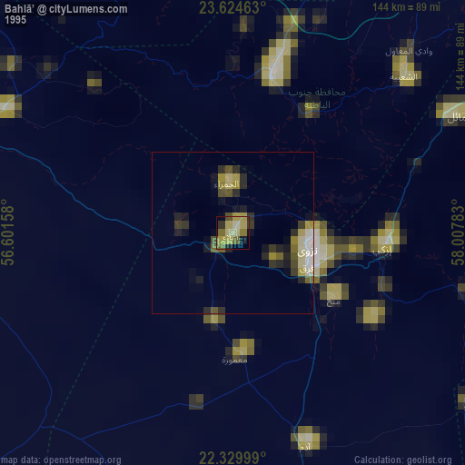
» NASA, Earths city lights 1995
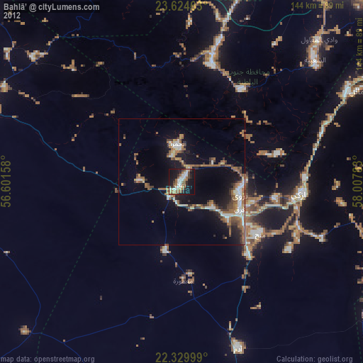
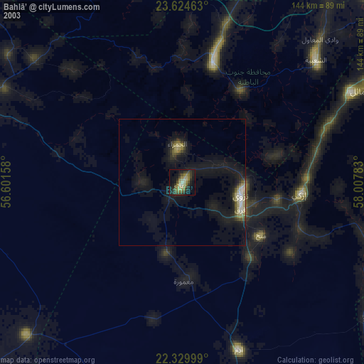
» NASA city lights 2003
» Earth at Night: Flat Maps 2012, 2016