Ibrā’ night lights from space
Night Light of Ibrā’ (Northeastern Governorate) from space (Oman) Src. Average luminocity for 10x10km area is 46.877% and for 50x50km: 10.3012%.
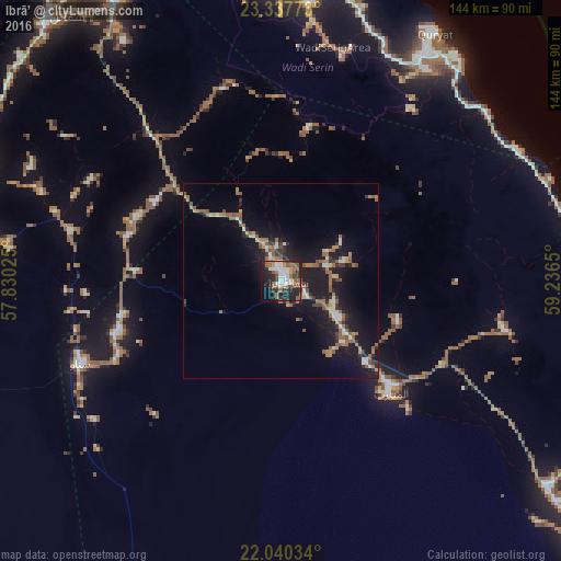
Analysis of Ibrā’ night lights 2016
Square area 10x10 km:
 8.13%
8.13%90-99
11.31%80-89
0.79%70-79
4.56%60-69
7.54%50-59
14.09%40-49
3.37%30-39
6.75%20-29
17.66%10-19
19.64%0-9
6.15%Square area 50x50 km:
0.97%90-99
1.18%80-89
0.59%70-79
1.03%60-69
2.08%50-59
2.88%40-49
0.54%30-39
1.31%20-29
2.75%10-19
11.68%0-9
74.97%Clear (daylight) street map image can be seen on geolist.org.
Map coordinates:
23° 20' 15.8" North, 57° 49' 48.9" East
22° 41' 26.1" North, 58° 32' 0.1" East
22° 2' 25.2" North, 59° 14' 11.4" East
Some cities around Ibrā’ sort by population:
• Muscat
100.2 km =62.3 mi,  352°
352°
• Bawshar
99.6 km =61.9 mi, 352°
• Sur
103.1 km =64.1 mi,  97°
97°
• Sufālat Samā’il
87.4 km =54.3 mi,  322°
322°
• Izkī
83.1 km =51.6 mi,  288°
288°
• Bidbid
89.9 km =55.9 mi,  332°
332°
• Badīyah
38.3 km =23.8 mi,  134°
134°
• Al Qābil
21.2 km =13.2 mi, 128°
287832 (p: 25,265)
Sources (retrieved 2019-11-25):
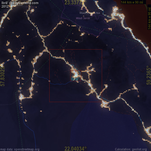
» Earth at Night: Flat Maps 2012, 2016