Waitangi night lights from space
Night Light of Waitangi (Chatham Islands) from space (New Zealand) Src. Average luminocity for 10x10km area is 0% and for 50x50km: 0%.
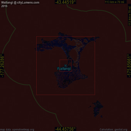
Analysis of Waitangi night lights 2016
Square area 10x10 km:
 0%
0%90-99
0%80-89
0%70-79
0%60-69
0%50-59
0%40-49
0%30-39
0%20-29
0%10-19
0%0-9
100%Square area 50x50 km:
0%90-99
0%80-89
0%70-79
0%60-69
0%50-59
0%40-49
0%30-39
0%20-29
0%10-19
0%0-9
100%Clear (daylight) street map image can be seen on geolist.org.
Map coordinates:
43° 26' 42.7" South, 177° 15' 46.3" West
43° 57' 12.7" South, 176° 33' 35" West
44° 27' 27.2" South, 175° 51' 23.8" West
Some cities around Waitangi sort by population:
• Nuku‘alofa, TO
2539.8 km =1578.2 mi,  2°
2°
• Avarua, CK
2965 km =1842.4 mi,  31°
31°
• Lapaha, TO
2536 km =1575.8 mi, 3°
• Neiafu, TO
2823.7 km =1754.6 mi, 4°
• Pangai, TO
2691.8 km =1672.6 mi, 4°
• ‘Ohonua, TO
2519.5 km =1565.5 mi, 3°
• Hihifo, TO
3124.1 km =1941.2 mi, 4°
• Alofi, NU
2836.8 km =1762.7 mi,  12°
12°
4032804 (p: 300)
Sources (retrieved 2019-11-25):
» Earth at Night: Flat Maps 2012, 2016