Hihifo night lights from space
Night Light of Hihifo (Niuas) from space (Tonga) Src. Average luminocity for 10x10km area is 0% and for 50x50km: 0%.
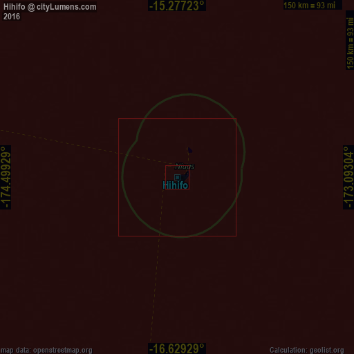
Analysis of Hihifo night lights 2016
Square area 10x10 km:
 0%
0%90-99
0%80-89
0%70-79
0%60-69
0%50-59
0%40-49
0%30-39
0%20-29
0%10-19
0%0-9
100%Square area 50x50 km:
0%90-99
0%80-89
0%70-79
0%60-69
0%50-59
0%40-49
0%30-39
0%20-29
0%10-19
0%0-9
100%Clear (daylight) street map image can be seen on geolist.org.
Map coordinates:
15° 16' 38" South, 174° 29' 57.4" West
15° 57' 15.8" South, 173° 47' 46.2" West
16° 37' 45.4" South, 173° 5' 34.9" West
Some cities around Hihifo sort by population:
• Asau, WS
298 km =185.2 mi,  24°
24°
• Mulifanua, WS
302.4 km =187.9 mi,  38°
38°
• Neiafu
300.5 km =186.7 mi,  183°
183°
• Leulumoega, WS
308.3 km =191.6 mi, 39°
• Safotu, WS
316.1 km =196.4 mi,  28°
28°
• Vailoa, WS
292.2 km =181.6 mi, 33°
• Safotulafai, WS
307.7 km =191.2 mi, 34°
• Satupa‘itea, WS
290.1 km =180.3 mi, 32°
4032619 (p: 815)
Sources (retrieved 2019-11-25):
» Earth at Night: Flat Maps 2012, 2016