Neiafu night lights from space
Night Light of Neiafu (Vava‘u) from space (Tonga) Src. Average luminocity for 10x10km area is 0% and for 50x50km: 0%.
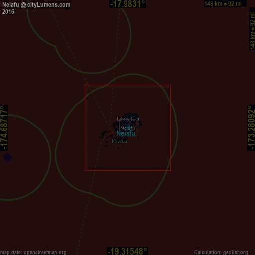
Analysis of Neiafu night lights 2016
Square area 10x10 km:
 0%
0%90-99
0%80-89
0%70-79
0%60-69
0%50-59
0%40-49
0%30-39
0%20-29
0%10-19
0%0-9
100%Square area 50x50 km:
0%90-99
0%80-89
0%70-79
0%60-69
0%50-59
0%40-49
0%30-39
0%20-29
0%10-19
0%0-9
100%Clear (daylight) street map image can be seen on geolist.org.
Map coordinates:
17° 58' 59.2" South, 174° 41' 13.8" West
18° 39' 2.2" South, 173° 59' 2.5" West
19° 18' 55.7" South, 173° 16' 51.3" West
Some cities around Neiafu sort by population:
• Nuku‘alofa
304.6 km =189.3 mi,  204°
204°
• Lapaha
304.9 km =189.5 mi, 202°
• Pangai
135.1 km =83.9 mi, 196°
• ‘Ohonua
314.9 km =195.7 mi, 198°
• Hihifo
300.5 km =186.7 mi,  3°
3°
• Vailoa, WS
573 km =356 mi,  18°
18°
• Alofi, NU
430.2 km =267.3 mi,  95°
95°
• Satupa‘itea, WS
571.2 km =354.9 mi, 18°
4032420 (p: 4,320)
Sources (retrieved 2019-11-25):
» Earth at Night: Flat Maps 2012, 2016