Nuku‘alofa night lights from space
Night Light of Nuku‘alofa (Tongatapu) from space (Tonga) Src. Average luminocity for 10x10km area is 0% and for 50x50km: 0%.
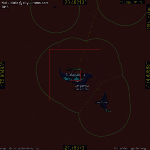
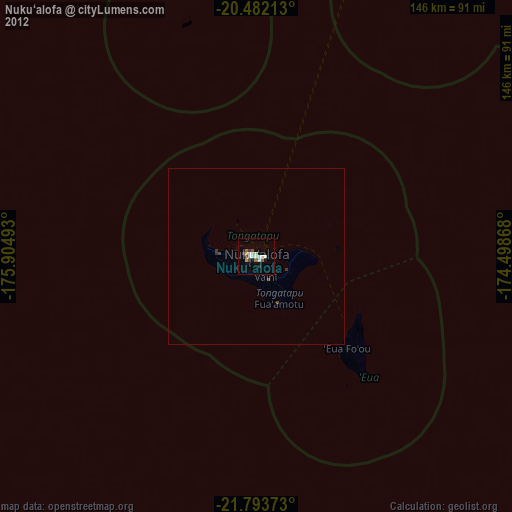
Analysis of Nuku‘alofa night lights 2016
Square area 10x10 km:
 0%
0%90-99
0%80-89
0%70-79
0%60-69
0%50-59
0%40-49
0%30-39
0%20-29
0%10-19
0%0-9
100%Square area 50x50 km:
0%90-99
0%80-89
0%70-79
0%60-69
0%50-59
0%40-49
0%30-39
0%20-29
0%10-19
0%0-9
100%Clear (daylight) street map image can be seen on geolist.org.
Map coordinates:
20° 28' 55.7" South, 175° 54' 17.7" West
21° 8' 21.8" South, 175° 12' 6.5" West
21° 47' 37.4" South, 174° 29' 55.2" West
Some cities around Nuku‘alofa sort by population:
• Lapaha
9.7 km =6 mi,  115°
115°
• Neiafu
304.6 km =189.3 mi,  24°
24°
• Pangai
171.7 km =106.7 mi,  30°
30°
• ‘Ohonua
33.9 km =21.1 mi,  129°
129°
• Hihifo
595.2 km =369.8 mi,  14°
14°
• Alofi, NU
598.4 km =371.8 mi,  67°
67°
• Leava, WF
823 km =511.4 mi,  337°
337°
• Alo, WF
819.3 km =509.1 mi, 337°
4032402 (p: 22,400)
Sources (retrieved 2019-11-25):
» Earth at Night: Flat Maps 2012, 2016