‘Ohonua night lights from space
Night Light of ‘Ohonua (ʻEua) from space (Tonga) Src. Average luminocity for 10x10km area is 0% and for 50x50km: 0%.
Analysis of ‘Ohonua night lights 2016
Square area 10x10 km:
 0%
0%90-99
0%80-89
0%70-79
0%60-69
0%50-59
0%40-49
0%30-39
0%20-29
0%10-19
0%0-9
100%Square area 50x50 km:
0%90-99
0%80-89
0%70-79
0%60-69
0%50-59
0%40-49
0%30-39
0%20-29
0%10-19
0%0-9
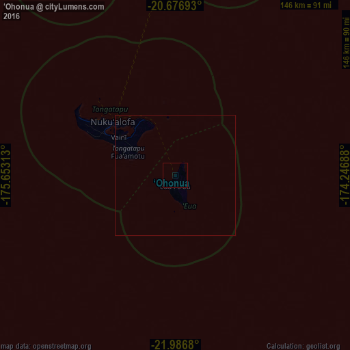
100%Clear (daylight) street map image can be seen on geolist.org.
Map coordinates:
20° 40' 36.9" South, 175° 39' 11.3" West
21° 19' 60" South, 174° 57' 0" West
21° 59' 12.5" South, 174° 14' 48.8" West
Some cities around ‘Ohonua sort by population:
• Nuku‘alofa
33.9 km =21.1 mi,  309°
309°
• Lapaha
24.5 km =15.2 mi,  315°
315°
• Neiafu
314.9 km =195.7 mi,  18°
18°
• Pangai
179.9 km =111.8 mi, 20°
• Hihifo
610.3 km =379.2 mi,  11°
11°
• Alofi, NU
583 km =362.3 mi,  64°
64°
• Leava, WF
853.2 km =530.2 mi,  336°
336°
• Alo, WF
849.4 km =527.8 mi, 336°
4032384 (p: 1,241)
Sources (retrieved 2019-11-25):
» Earth at Night: Flat Maps 2012, 2016