Upper Hutt night lights from space
Night Light of Upper Hutt (Wellington) from space (New Zealand) Src. Average luminocity for 10x10km area is 22.7955% and for 50x50km: 8.7777%.
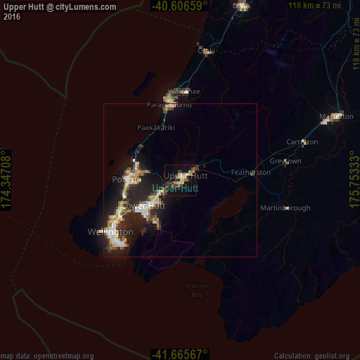
Analysis of Upper Hutt night lights 2016
Square area 10x10 km:
 0.32%
0.32%90-99
1.3%80-89
5.84%70-79
3.25%60-69
4.06%50-59
2.6%40-49
2.27%30-39
6.01%20-29
4.87%10-19
24.35%0-9
45.13%Square area 50x50 km:
0.87%90-99
1.41%80-89
1.15%70-79
1.41%60-69
0.86%50-59
0.94%40-49
0.87%30-39
1.61%20-29
3.81%10-19
7.34%0-9
79.72%Clear (daylight) street map image can be seen on geolist.org.
Map coordinates:
40° 36' 23.7" South, 174° 20' 49.5" East
41° 8' 17.8" South, 175° 3' 0.7" East
41° 39' 56.4" South, 175° 45' 12" East
Some cities around Upper Hutt sort by population:
• Wellington
28.3 km =17.6 mi,  234°
234°
• Lower Hutt
14.2 km =8.8 mi, 232°
• Porirua
16.8 km =10.4 mi,  271°
271°
• Paraparaumu
24.8 km =15.4 mi,  353°
353°
• Masterton
54.7 km =34 mi,  68°
68°
• Khandallah
24.5 km =15.2 mi,  241°
241°
• Petone
18.1 km =11.2 mi, 236°
• Otaki
43.1 km =26.8 mi,  11°
11°
6244895 (p: 38,400)
Sources (retrieved 2019-11-25):
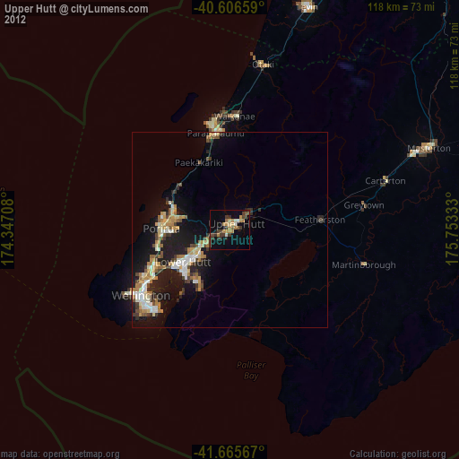
» Earth at Night: Flat Maps 2012, 2016