Porirua night lights from space
Night Light of Porirua (Wellington) from space (New Zealand) Src. Average luminocity for 10x10km area is 37.2419% and for 50x50km: 9.055%.
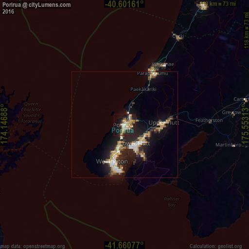

Analysis of Porirua night lights 2016
Square area 10x10 km:
 1.95%
1.95%90-99
7.95%80-89
3.9%70-79
9.9%60-69
3.73%50-59
5.68%40-49
2.6%30-39
4.87%20-29
14.61%10-19
30.19%0-9
14.61%Square area 50x50 km:
0.88%90-99
1.45%80-89
1.22%70-79
1.43%60-69
0.86%50-59
0.97%40-49
0.91%30-39
1.58%20-29
3.88%10-19
7.75%0-9
79.08%Clear (daylight) street map image can be seen on geolist.org.
Map coordinates:
40° 36' 5.8" South, 174° 8' 48.8" East
41° 7' 60" South, 174° 51' 0" East
41° 39' 38.8" South, 175° 33' 11.3" East
Some cities around Porirua sort by population:
• Wellington
18.1 km =11.2 mi,  200°
200°
• Lower Hutt
10.8 km =6.7 mi,  148°
148°
• Upper Hutt
16.8 km =10.4 mi,  91°
91°
• Paraparaumu
27.9 km =17.3 mi,  30°
30°
• Levin
66.1 km =41.1 mi, 32°
• Khandallah
13.3 km =8.3 mi, 200°
• Petone
10.7 km =6.6 mi,  170°
170°
• Otaki
48.7 km =30.3 mi, 31°
2184397 (p: 50,914)
Sources (retrieved 2019-11-25):
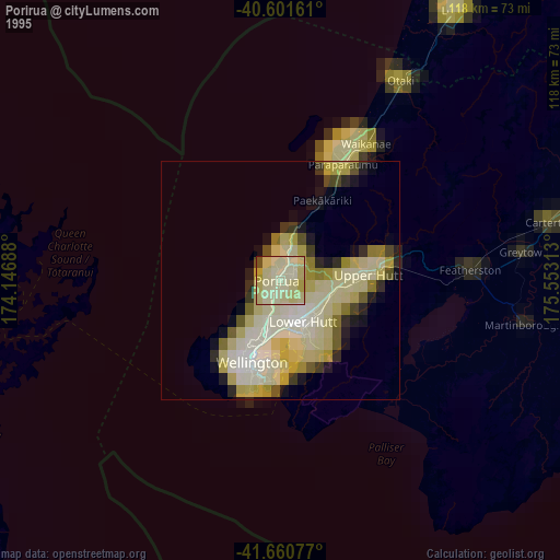
» NASA, Earths city lights 1995
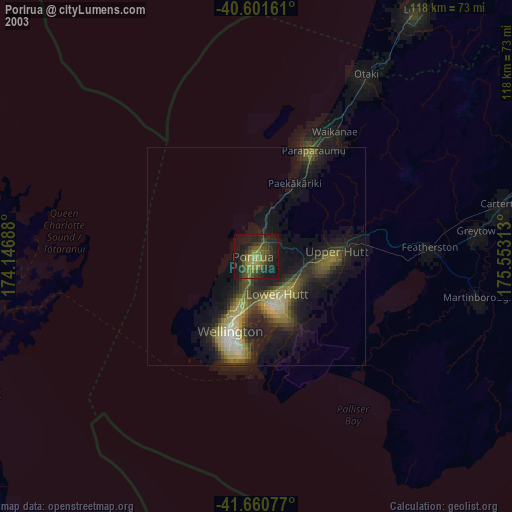
» NASA city lights 2003
» Earth at Night: Flat Maps 2012, 2016