Pātan night lights from space
Night Light of Pātan (Province 3) from space (Nepal) Src. Average luminocity for 10x10km area is 82.3155% and for 50x50km: 9.57%.
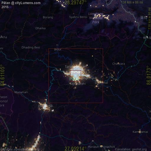
Analysis of Pātan night lights 2016
Square area 10x10 km:
 38.69%
90-99
25.99%80-89
2.98%70-79
6.55%60-69
4.37%50-59
3.17%40-49
5.16%30-39
6.94%20-29
5.16%10-19
0.99%0-9
0%Square area 50x50 km:
2.51%90-99
2.01%80-89
0.51%70-79
0.58%60-69
0.84%50-59
0.93%40-49
1.39%30-39
1.54%20-29
3.01%10-19
4.76%0-9
81.9%Clear (daylight) street map image can be seen on geolist.org.
Map coordinates:
28° 17' 50.9" North, 84° 36' 39.8" East
27° 40' 35.7" North, 85° 18' 51" East
27° 3' 7.7" North, 86° 1' 2.3" East
Some cities around Pātan sort by population:
• Kathmandu
2.9 km =1.8 mi,  12°
12°
• Madhyapur Thimi
7.2 km =4.5 mi,  86°
86°
• Panauti
22.8 km =14.2 mi,  116°
116°
• Kirtipur
3.6 km =2.2 mi,  273°
273°
• Panauti̇̄
22.3 km =13.9 mi, 117°
• Banepā
21 km =13 mi,  103°
103°
• kankrabari Dovan
15.3 km =9.5 mi,  110°
110°
• Hari Bdr Tamang House
15.2 km =9.4 mi, 110°
1282931 (p: 183,310)
Sources (retrieved 2019-11-25):
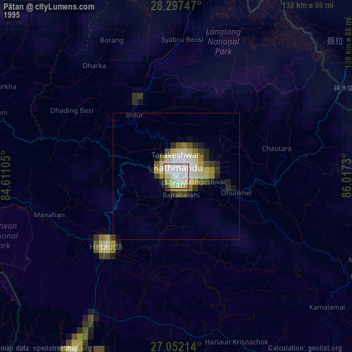
» NASA, Earths city lights 1995
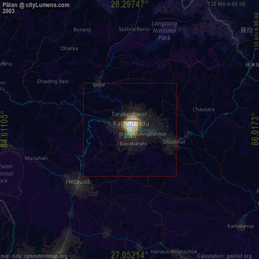
» NASA city lights 2003
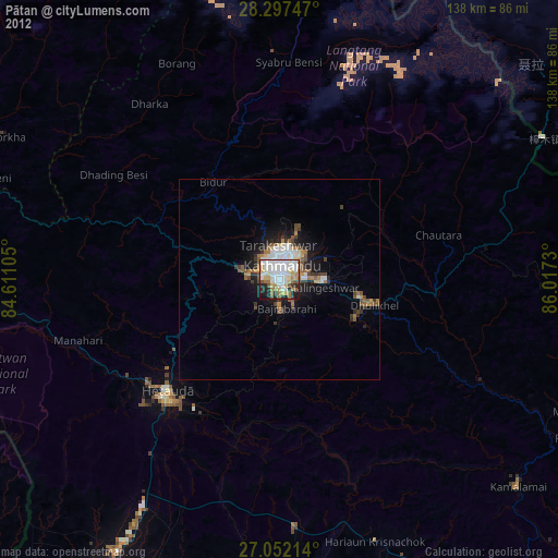
» Earth at Night: Flat Maps 2012, 2016