kankrabari Dovan night lights from space
Night Light of kankrabari Dovan (Province 3) from space (Nepal) Src. Average luminocity for 10x10km area is 11.4028% and for 50x50km: 9.7818%.
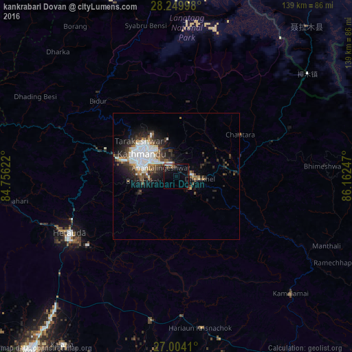
Analysis of kankrabari Dovan night lights 2016
Square area 10x10 km:
 0.99%
0.99%90-99
1.19%80-89
0.99%70-79
0%60-69
0.79%50-59
2.98%40-49
0.4%30-39
2.38%20-29
3.17%10-19
13.1%0-9
74.01%Square area 50x50 km:
2.51%90-99
1.98%80-89
0.51%70-79
0.58%60-69
0.84%50-59
1.03%40-49
1.49%30-39
1.71%20-29
3.19%10-19
5.06%0-9
81.1%Clear (daylight) street map image can be seen on geolist.org.
Map coordinates:
28° 14' 59.9" North, 84° 45' 22.4" East
27° 37' 43.7" North, 85° 27' 33.6" East
27° 0' 14.8" North, 86° 9' 44.9" East
Some cities around kankrabari Dovan sort by population:
• Kathmandu
15.9 km =9.9 mi,  300°
300°
• Pātan
15.3 km =9.5 mi,  290°
290°
• Madhyapur Thimi
9.1 km =5.7 mi,  309°
309°
• Panauti
7.8 km =4.8 mi,  128°
128°
• Panauti̇̄
7.4 km =4.6 mi, 131°
• Banepā
6.2 km =3.9 mi,  86°
86°
• Dhulikhel
8.3 km =5.2 mi,  95°
95°
• Hari Bdr Tamang House
0 km =0 mi,  283°
283°
8199102 (p: 10,000)
Sources (retrieved 2019-11-25):
» Earth at Night: Flat Maps 2012, 2016