Kathmandu night lights from space
Night Light of Kathmandu (Province 3) from space (Nepal) Src. Average luminocity for 10x10km area is 93.1409% and for 50x50km: 9.5851%.
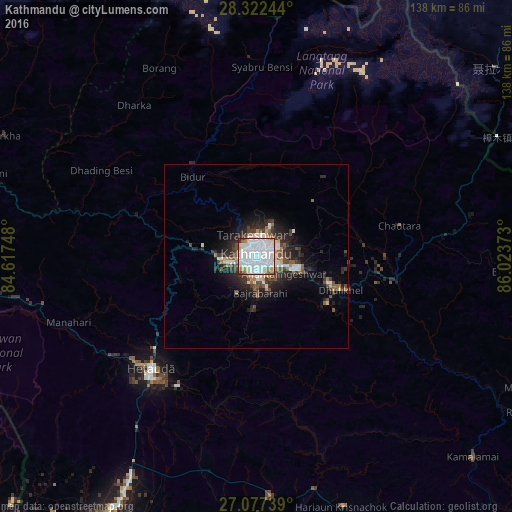
Analysis of Kathmandu night lights 2016
Square area 10x10 km:
 52.78%
90-99
30.95%80-89
2.58%70-79
2.98%60-69
4.96%50-59
2.18%40-49
1.19%30-39
1.79%20-29
0.6%10-19
0%0-9
0%Square area 50x50 km:
2.51%90-99
2.01%80-89
0.51%70-79
0.58%60-69
0.84%50-59
0.94%40-49
1.42%30-39
1.54%20-29
3.01%10-19
4.83%0-9
81.81%Clear (daylight) street map image can be seen on geolist.org.
Map coordinates:
28° 19' 20.8" North, 84° 37' 2.9" East
27° 42' 6.1" North, 85° 19' 14.2" East
27° 4' 38.6" North, 86° 1' 25.4" East
Some cities around Kathmandu sort by population:
• Pātan
2.9 km =1.8 mi,  192°
192°
• Madhyapur Thimi
7 km =4.3 mi,  109°
109°
• Kirtipur
5 km =3.1 mi,  238°
238°
• Panauti̇̄
23.1 km =14.4 mi,  124°
124°
• Banepā
21.3 km =13.2 mi, 111°
• Dhulikhel
23.6 km =14.7 mi, 112°
• kankrabari Dovan
15.9 km =9.9 mi, 120°
• Hari Bdr Tamang House
15.8 km =9.8 mi, 120°
1283240 (p: 1,442,271)
Sources (retrieved 2019-11-25):
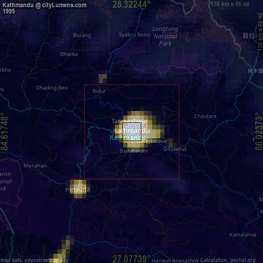
» NASA, Earths city lights 1995
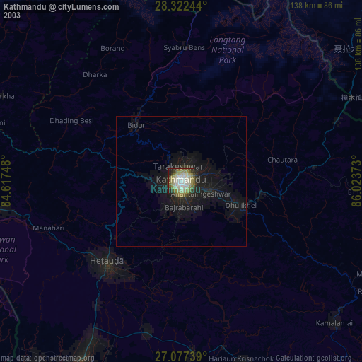
» NASA city lights 2003
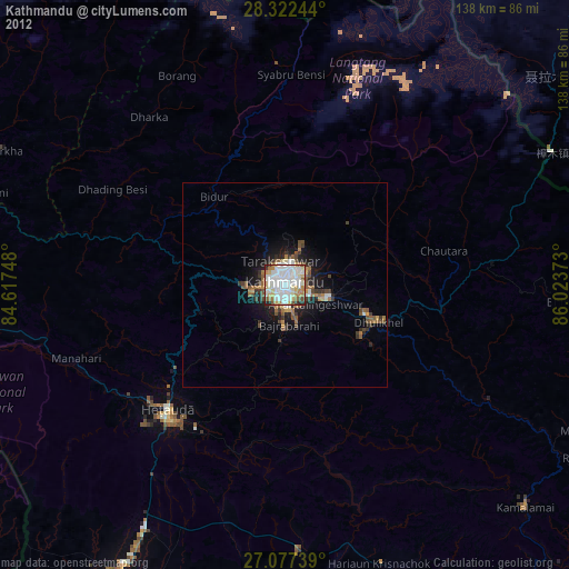
» Earth at Night: Flat Maps 2012, 2016