Kirtipur night lights from space
Night Light of Kirtipur (Province 3) from space (Nepal) Src. Average luminocity for 10x10km area is 65.006% and for 50x50km: 9.3679%.
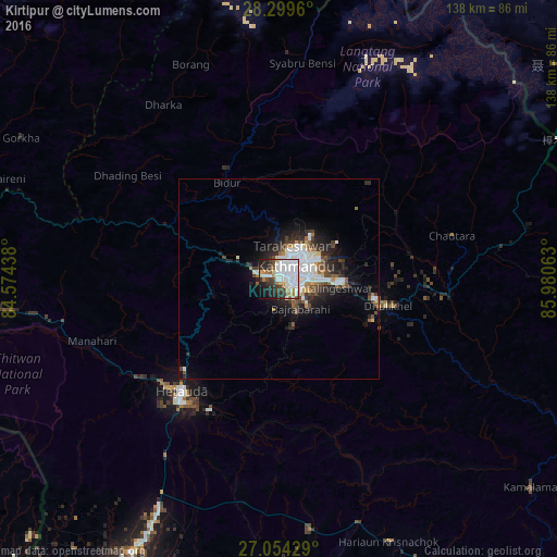
Analysis of Kirtipur night lights 2016
Square area 10x10 km:
 26.39%
90-99
18.06%80-89
2.58%70-79
5.16%60-69
4.37%50-59
2.78%40-49
5.16%30-39
10.12%20-29
12.3%10-19
11.31%0-9
1.79%Square area 50x50 km:
2.51%90-99
2.04%80-89
0.48%70-79
0.57%60-69
0.76%50-59
0.86%40-49
1.33%30-39
1.49%20-29
2.97%10-19
4.77%0-9
82.2%Clear (daylight) street map image can be seen on geolist.org.
Map coordinates:
28° 17' 58.6" North, 84° 34' 27.8" East
27° 40' 43.4" North, 85° 16' 39" East
27° 3' 15.4" North, 85° 58' 50.3" East
Some cities around Kirtipur sort by population:
• Kathmandu
5 km =3.1 mi,  58°
58°
• Pātan
3.6 km =2.2 mi,  93°
93°
• Madhyapur Thimi
10.8 km =6.7 mi, 88°
• Panauti
26.2 km =16.3 mi,  113°
113°
• Panauti̇̄
25.6 km =15.9 mi, 114°
• Banepā
24.6 km =15.3 mi,  102°
102°
• kankrabari Dovan
18.7 km =11.6 mi, 107°
• Hari Bdr Tamang House
18.7 km =11.6 mi, 107°
1283190 (p: 44,632)
Sources (retrieved 2019-11-25):
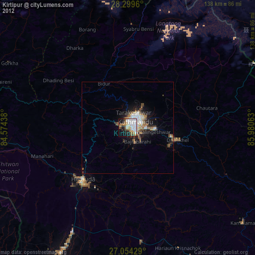
» Earth at Night: Flat Maps 2012, 2016