Panauti̇̄ night lights from space
Night Light of Panauti̇̄ (Province 3) from space (Nepal) Src. Average luminocity for 10x10km area is 9.4187% and for 50x50km: 8.9713%.
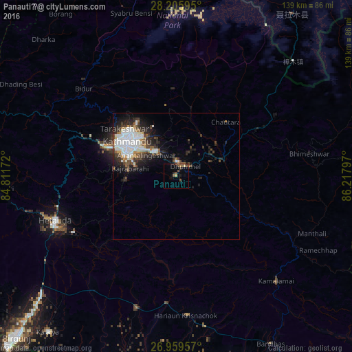
Analysis of Panauti̇̄ night lights 2016
Square area 10x10 km:
 0%
0%90-99
0%80-89
1.59%70-79
0.79%60-69
1.59%50-59
2.98%40-49
3.17%30-39
1.19%20-29
1.59%10-19
3.57%0-9
83.53%Square area 50x50 km:
2.47%90-99
1.86%80-89
0.48%70-79
0.54%60-69
0.7%50-59
0.97%40-49
1.41%30-39
1.44%20-29
2.75%10-19
3.98%0-9
83.39%Clear (daylight) street map image can be seen on geolist.org.
Map coordinates:
28° 12' 21.4" North, 84° 48' 42.2" East
27° 35' 4.3" North, 85° 30' 53.4" East
26° 57' 34.5" North, 86° 13' 4.7" East
Some cities around Panauti̇̄ sort by population:
• Kathmandu
23.1 km =14.4 mi,  304°
304°
• Pātan
22.3 km =13.9 mi, 297°
• Madhyapur Thimi
16.5 km =10.3 mi,  310°
310°
• Kirtipur
25.6 km =15.9 mi,  294°
294°
• Banepā
5.4 km =3.4 mi,  7°
7°
• Dhulikhel
5 km =3.1 mi,  33°
33°
• kankrabari Dovan
7.4 km =4.6 mi, 311°
• Hari Bdr Tamang House
7.4 km =4.6 mi, 311°
1282950 (p: 27,602)
Sources (retrieved 2019-11-25):
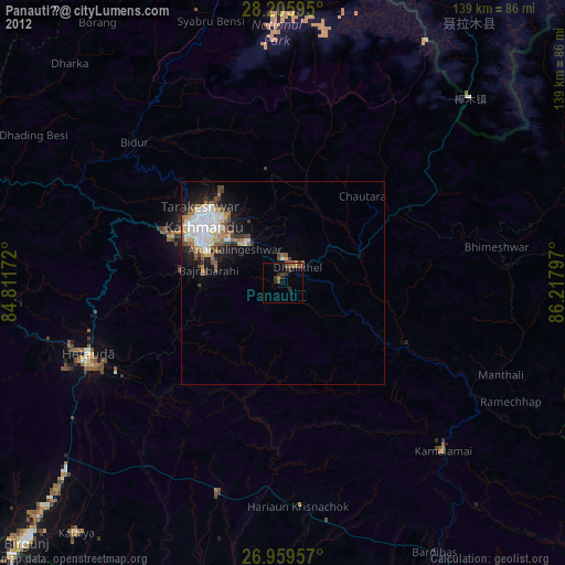
» Earth at Night: Flat Maps 2012, 2016