Khanbari night lights from space
Night Light of Khanbari (Province 1) from space (Nepal) Src. Average luminocity for 10x10km area is 0.3939% and for 50x50km: 0.0158%.
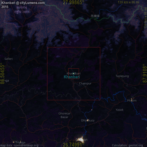
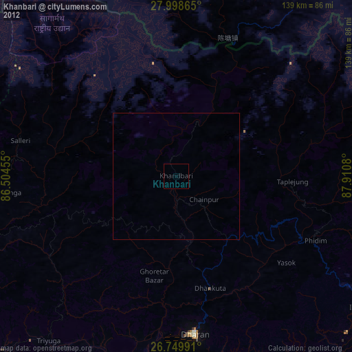
Analysis of Khanbari night lights 2016
Square area 10x10 km:
 0%
0%90-99
0%80-89
0%70-79
0%60-69
0%50-59
0.57%40-49
0.19%30-39
0%20-29
0%10-19
0%0-9
99.24%Square area 50x50 km:
0%90-99
0%80-89
0%70-79
0%60-69
0%50-59
0.02%40-49
0.01%30-39
0%20-29
0%10-19
0%0-9
99.97%Clear (daylight) street map image can be seen on geolist.org.
Map coordinates:
27° 59' 55.1" North, 86° 30' 16.4" East
27° 22' 33.7" North, 87° 12' 27.6" East
26° 44' 59.7" North, 87° 54' 38.9" East
Some cities around Khanbari sort by population:
• Dharān
62.9 km =39.1 mi,  173°
173°
• Triyuga
82.2 km =51.1 mi,  217°
217°
• Inaruwa
85.7 km =53.3 mi,  183°
183°
• Titahari
79.5 km =49.4 mi, 175°
• Dhankutā
45.4 km =28.2 mi,  164°
164°
• Bīrpur, IN
98.4 km =61.1 mi,  191°
191°
• Ilām
88.2 km =54.8 mi,  126°
126°
• Lobujya
74.5 km =46.3 mi,  328°
328°
1283217 (p: 22,903)
Sources (retrieved 2019-11-25):
» Earth at Night: Flat Maps 2012, 2016