Inaruwa night lights from space
Night Light of Inaruwa (Province 1) from space (Nepal) Src. Average luminocity for 10x10km area is 7.7992% and for 50x50km: 10.864%.
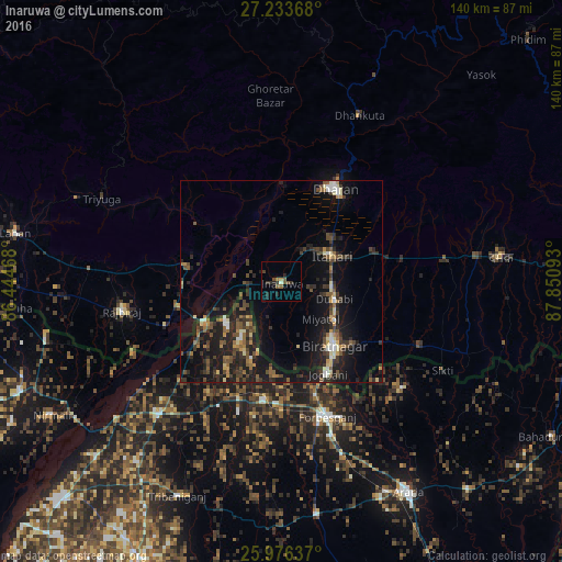
Analysis of Inaruwa night lights 2016
Square area 10x10 km:
 0%
0%90-99
0.76%80-89
0%70-79
0.76%60-69
1.14%50-59
2.27%40-49
2.27%30-39
2.65%20-29
4.55%10-19
0.76%0-9
84.85%Square area 50x50 km:
0.6%90-99
1.05%80-89
0.99%70-79
0.88%60-69
1.29%50-59
1.98%40-49
2.18%30-39
2.99%20-29
4.16%10-19
11.33%0-9
72.55%Clear (daylight) street map image can be seen on geolist.org.
Map coordinates:
27° 14' 1.2" North, 86° 26' 40.8" East
26° 36' 24.3" North, 87° 8' 52.1" East
25° 58' 34.9" North, 87° 51' 3.3" East
Some cities around Inaruwa sort by population:
• Biratnagar
20.8 km =12.9 mi,  144°
144°
• Dharān
26.5 km =16.5 mi,  29°
29°
• Titahari
14.1 km =8.8 mi,  63°
63°
• Forbesganj, IN
35.8 km =22.2 mi,  160°
160°
• Shahbazpur, IN
36.4 km =22.6 mi, 157°
• Jogbani, IN
25.9 km =16.1 mi,  153°
153°
• Bhawanipur, IN
20.8 km =12.9 mi,  215°
215°
• Bīrpur, IN
17.4 km =10.8 mi,  230°
230°
7997918 (p: 70,093)
Sources (retrieved 2019-11-25):
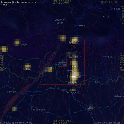
» NASA, Earths city lights 1995
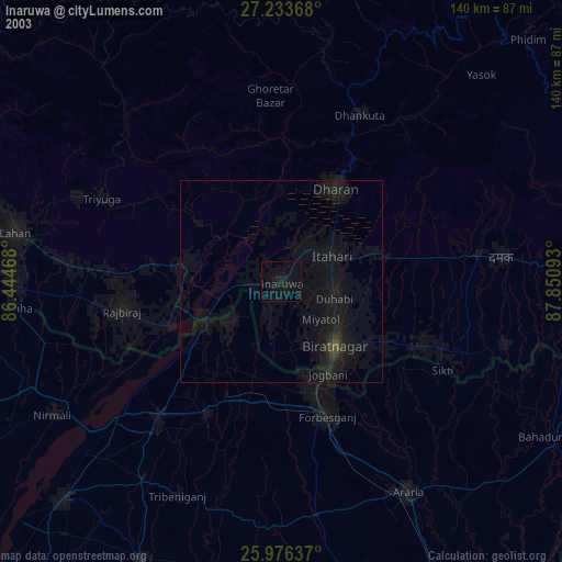
» NASA city lights 2003
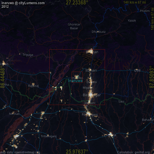
» Earth at Night: Flat Maps 2012, 2016