Dhankutā night lights from space
Night Light of Dhankutā (Province 1) from space (Nepal) Src. Average luminocity for 10x10km area is 1.3413% and for 50x50km: 1.0147%.
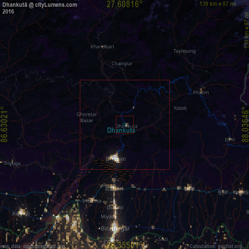
Analysis of Dhankutā night lights 2016
Square area 10x10 km:
 0%
0%90-99
0%80-89
0%70-79
0.79%60-69
0%50-59
0%40-49
0.4%30-39
1.19%20-29
0.2%10-19
0.6%0-9
96.83%Square area 50x50 km:
0.15%90-99
0.22%80-89
0.08%70-79
0.1%60-69
0.08%50-59
0.09%40-49
0.11%30-39
0.2%20-29
0.04%10-19
0.7%0-9
98.24%Clear (daylight) street map image can be seen on geolist.org.
Map coordinates:
27° 36' 29.4" North, 86° 37' 48.8" East
26° 58' 60" North, 87° 19' 60" East
26° 21' 18" North, 88° 2' 11.3" East
Some cities around Dhankutā sort by population:
• Biratnagar
59.1 km =36.7 mi,  186°
186°
• Dharān
19.5 km =12.1 mi,  195°
195°
• Inaruwa
45.7 km =28.4 mi, 203°
• Titahari
36 km =22.4 mi, 189°
• Jogbani, IN
65.3 km =40.6 mi, 185°
• Khanbari
45.4 km =28.2 mi,  344°
344°
• Bīrpur, IN
61.7 km =38.3 mi,  211°
211°
• Ilām
59.5 km =37 mi,  97°
97°
1283465 (p: 22,084)
Sources (retrieved 2019-11-25):
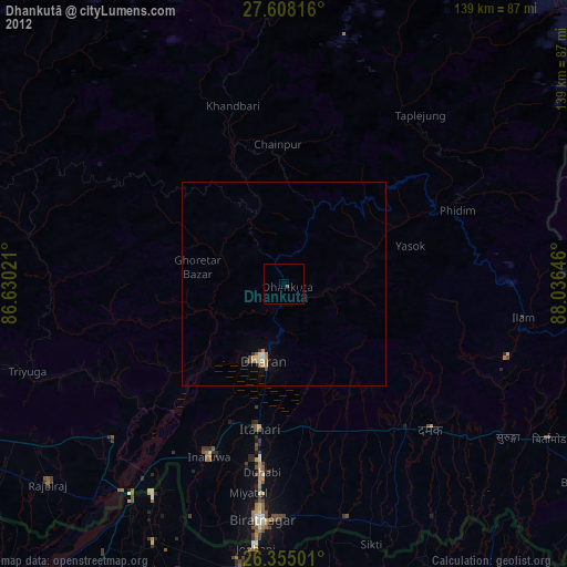
» Earth at Night: Flat Maps 2012, 2016