Lobujya night lights from space
Night Light of Lobujya (Province 1) from space (Nepal) Src. Average luminocity for 10x10km area is 0% and for 50x50km: 0%.
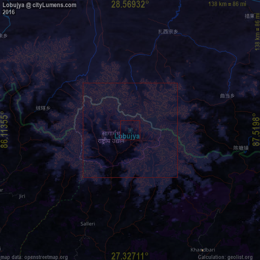
Analysis of Lobujya night lights 2016
Square area 10x10 km:
 0%
0%90-99
0%80-89
0%70-79
0%60-69
0%50-59
0%40-49
0%30-39
0%20-29
0%10-19
0%0-9
100%Square area 50x50 km:
0%90-99
0%80-89
0%70-79
0%60-69
0%50-59
0%40-49
0%30-39
0%20-29
0%10-19
0%0-9
100%Clear (daylight) street map image can be seen on geolist.org.
Map coordinates:
28° 34' 9.6" North, 86° 6' 48.8" East
27° 57' 0" North, 86° 49' 0" East
27° 19' 37.6" North, 87° 31' 11.3" East
Some cities around Lobujya sort by population:
• Dharān
134.3 km =83.5 mi,  160°
160°
• Triyuga
129.3 km =80.3 mi,  185°
185°
• Panauti
133.8 km =83.1 mi,  252°
252°
• Panauti̇̄
134.4 km =83.5 mi, 252°
• Khanbari
74.5 km =46.3 mi,  148°
148°
• Dhankutā
119 km =73.9 mi, 154°
• Banepā
132.2 km =82.1 mi, 254°
• Dhulikhel
130.5 km =81.1 mi, 253°
1283119 (p: 8,767)
Sources (retrieved 2019-11-25):
» Earth at Night: Flat Maps 2012, 2016