Janakpur night lights from space
Night Light of Janakpur (Province 2) from space (Nepal) Src. Average luminocity for 10x10km area is 36.3909% and for 50x50km: 10.589%.
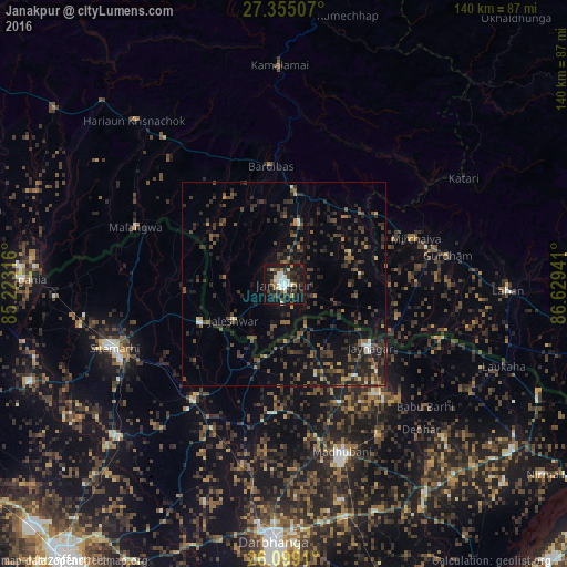
Analysis of Janakpur night lights 2016
Square area 10x10 km:
 6.94%
6.94%90-99
8.33%80-89
2.58%70-79
1.39%60-69
3.17%50-59
2.58%40-49
4.37%30-39
9.33%20-29
13.69%10-19
40.48%0-9
7.14%Square area 50x50 km:
0.53%90-99
0.65%80-89
0.48%70-79
0.55%60-69
1.13%50-59
1.74%40-49
2.97%30-39
3.72%20-29
5.54%10-19
8.52%0-9
74.16%Clear (daylight) street map image can be seen on geolist.org.
Map coordinates:
27° 21' 18.3" North, 85° 13' 23.4" East
26° 43' 43.8" North, 85° 55' 34.6" East
26° 5' 56.8" North, 86° 37' 45.9" East
Some cities around Janakpur sort by population:
• Madhubani, IN
44.1 km =27.4 mi,  160°
160°
• Sītāmarhi, IN
45.8 km =28.5 mi,  250°
250°
• Siraha
29.2 km =18.1 mi,  106°
106°
• Jaleshwar
15.3 km =9.5 mi,  234°
234°
• Jaynagar, IN
26.1 km =16.2 mi,  126°
126°
• Malaṅgawā
39.1 km =24.3 mi,  291°
291°
• Dumra, IN
44.2 km =27.5 mi, 245°
• Pupri, IN
36.3 km =22.6 mi,  217°
217°
1283318 (p: 93,767)
Sources (retrieved 2019-11-25):
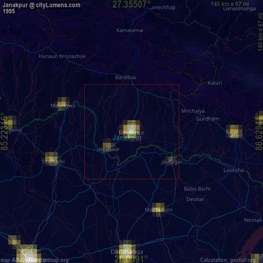
» NASA, Earths city lights 1995
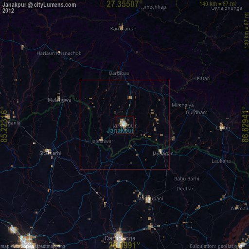
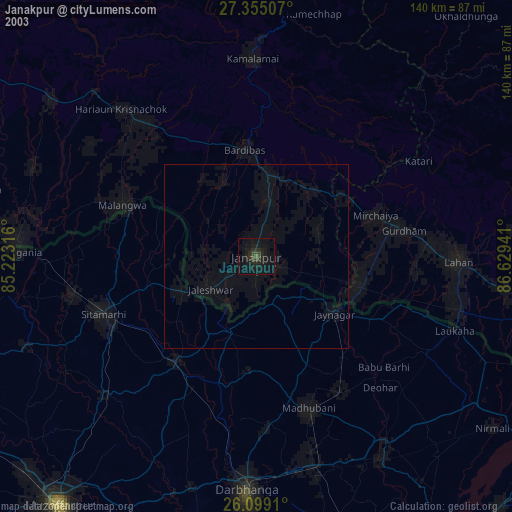
» NASA city lights 2003
» Earth at Night: Flat Maps 2012, 2016