Siraha night lights from space
Night Light of Siraha (Province 2) from space (Nepal) Src. Average luminocity for 10x10km area is 10.4716% and for 50x50km: 13.8396%.
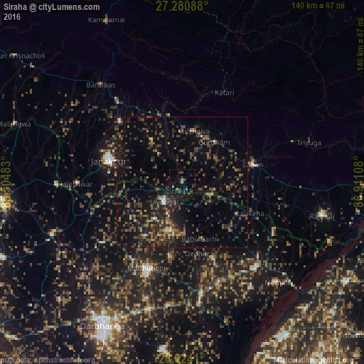
Analysis of Siraha night lights 2016
Square area 10x10 km:
 0%
0%90-99
0%80-89
0%70-79
0.76%60-69
2.27%50-59
0.57%40-49
3.79%30-39
4.55%20-29
4.55%10-19
5.87%0-9
77.65%Square area 50x50 km:
0.29%90-99
0.45%80-89
0.5%70-79
0.98%60-69
1.89%50-59
2.45%40-49
4.1%30-39
5.5%20-29
7.72%10-19
10.58%0-9
65.55%Clear (daylight) street map image can be seen on geolist.org.
Map coordinates:
27° 16' 51.2" North, 85° 30' 17.4" East
26° 39' 15.2" North, 86° 12' 28.6" East
26° 1' 26.8" North, 86° 54' 39.9" East
Some cities around Siraha sort by population:
• Janakpur
29.2 km =18.1 mi,  286°
286°
• Madhubani, IN
36.1 km =22.4 mi,  202°
202°
• Triyuga
51.1 km =31.8 mi,  72°
72°
• Lahān
28.3 km =17.6 mi, 74°
• Jhanjhārpur, IN
43.9 km =27.3 mi,  170°
170°
• Jaleshwar
40.5 km =25.2 mi,  269°
269°
• Jaynagar, IN
9.9 km =6.2 mi,  224°
224°
• Nirmāli, IN
53.3 km =33.1 mi,  135°
135°
1282770 (p: 24,657)
Sources (retrieved 2019-11-25):
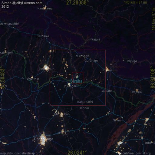
» Earth at Night: Flat Maps 2012, 2016