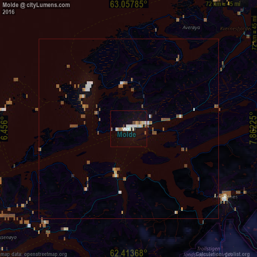
Molde night lights from space
Night Light of Molde (Møre og Romsdal) from space (Norway) Src. Average luminocity for 10x10km area is 16.5913% and for 50x50km: 2.3318%.
Analysis of Molde night lights 2016
Square area 10x10 km:
 2.78%
2.78%90-99
4.86%80-89
1.09%70-79
1.09%60-69
1.88%50-59
1.09%40-49
1.49%30-39
0%20-29
0%10-19
16.57%0-9
69.15%Square area 50x50 km:
0.27%90-99
0.4%80-89
0.1%70-79
0.17%60-69
0.37%50-59
0.65%40-49
0.48%30-39
0.09%20-29
0.12%10-19
0.96%0-9
96.39%Clear (daylight) street map image can be seen on geolist.org.
Map coordinates:
63° 3' 28.3" North, 6° 27' 21.6" East
62° 44' 15.1" North, 7° 9' 32.8" East
62° 24' 49.2" North, 7° 51' 44.1" East
Some cities around Molde sort by population:
• Ålesund
59.2 km =36.8 mi,  240°
240°
• Kristiansund
50.5 km =31.4 mi,  34°
34°
• Førde
158.2 km =98.3 mi,  205°
205°
• Oppdal
130.2 km =80.9 mi,  97°
97°
• Sogndal
167.8 km =104.3 mi,  181°
181°
• Ørsta
79.9 km =49.6 mi,  221°
221°
• Volda
86.4 km =53.7 mi, 220°
• Ulsteinvik
80.2 km =49.8 mi, 236°
3145580 (p: 18,594)
Sources (retrieved 2019-11-25):
» Earth at Night: Flat Maps 2012, 2016