Kristiansund night lights from space
Night Light of Kristiansund (Møre og Romsdal) from space (Norway) Src. Average luminocity for 10x10km area is 25.0089% and for 50x50km: 1.4966%.
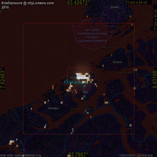
Analysis of Kristiansund night lights 2016
Square area 10x10 km:
 5.06%
5.06%90-99
7.04%80-89
2.58%70-79
1.88%60-69
1.59%50-59
1.88%40-49
1.39%30-39
0%20-29
1.59%10-19
33.53%0-9
43.45%Square area 50x50 km:
0.2%90-99
0.27%80-89
0.1%70-79
0.11%60-69
0.14%50-59
0.31%40-49
0.24%30-39
0.1%20-29
0.2%10-19
1.45%0-9
96.88%Clear (daylight) street map image can be seen on geolist.org.
Map coordinates:
63° 25' 36.2" North, 7° 1' 29.4" East
63° 6' 37.6" North, 7° 43' 40.6" East
62° 47' 26.5" North, 8° 25' 51.9" East
Some cities around Kristiansund sort by population:
• Trondheim
138 km =85.7 mi,  75°
75°
• Ålesund
106.9 km =66.4 mi,  228°
228°
• Molde
50.5 km =31.4 mi,  214°
214°
• Oppdal
114.9 km =71.4 mi,  119°
119°
• Malvik
152.1 km =94.5 mi, 76°
• Ørsta
130.1 km =80.8 mi,  218°
218°
• Volda
136.6 km =84.9 mi, 218°
• Ulsteinvik
128.2 km =79.7 mi, 228°
3149312 (p: 16,785)
Sources (retrieved 2019-11-25):
» Earth at Night: Flat Maps 2012, 2016