Tiel night lights from space
Night Light of Tiel (Gelderland) from space (Netherlands) Src. Average luminocity for 10x10km area is 23.4861% and for 50x50km: 24.9228%.
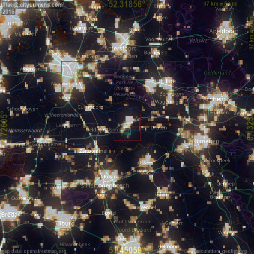
Analysis of Tiel night lights 2016
Square area 10x10 km:
 4.29%
4.29%90-99
5.18%80-89
2.65%70-79
1.01%60-69
2.02%50-59
2.27%40-49
1.26%30-39
3.41%20-29
1.77%10-19
29.04%0-9
47.1%Square area 50x50 km:
4.48%90-99
4.21%80-89
2.34%70-79
2.29%60-69
2.96%50-59
2.72%40-49
2.67%30-39
3.32%20-29
7.01%10-19
25.29%0-9
42.71%Clear (daylight) street map image can be seen on geolist.org.
Map coordinates:
52° 19' 6.8" North, 4° 43' 33.8" East
51° 53' 12" North, 5° 25' 45" East
51° 27' 2.1" North, 6° 7' 56.3" East
Some cities around Tiel sort by population:
• Geldermalsen
9.6 km =6 mi,  266°
266°
• Rhenen
12.5 km =7.8 mi,  49°
49°
• Wijk bij Duurstede
11.4 km =7.1 mi,  328°
328°
• Kerkdriel
14.3 km =8.9 mi,  206°
206°
• Leersum
13.9 km =8.6 mi,  359°
359°
• Druten
12.1 km =7.5 mi,  89°
89°
• Opheusden
14.8 km =9.2 mi,  70°
70°
• Amerongen
13 km =8.1 mi,  9°
9°
2746331 (p: 40,702)
Sources (retrieved 2019-11-25):
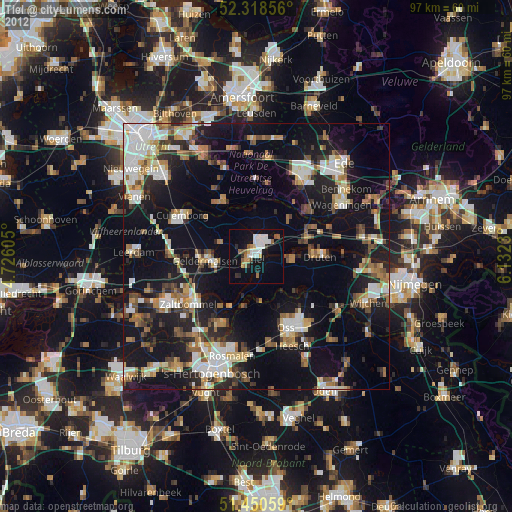
» Earth at Night: Flat Maps 2012, 2016