Ypenburg night lights from space
Night Light of Ypenburg (South Holland) from space (Netherlands) Src. Average luminocity for 10x10km area is 96.1957% and for 50x50km: 55.1493%.
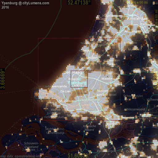
Analysis of Ypenburg night lights 2016
Square area 10x10 km:
 62.12%
90-99
25.13%80-89
5.43%70-79
1.77%60-69
4.17%50-59
1.39%40-49
0%30-39
0%20-29
0%10-19
0%0-9
0%Square area 50x50 km:
22.62%90-99
14.29%80-89
3.4%70-79
4.05%60-69
5.43%50-59
3.98%40-49
4.2%30-39
5.94%20-29
8.44%10-19
5.51%0-9
22.14%Clear (daylight) street map image can be seen on geolist.org.
Map coordinates:
52° 28' 17" North, 3° 40' 0.1" East
52° 2' 27.5" North, 4° 22' 11.3" East
51° 36' 23" North, 5° 4' 22.6" East
Some cities around Ypenburg sort by population:
• The Hague
6.3 km =3.9 mi,  309°
309°
• Zoetermeer
8.6 km =5.3 mi,  77°
77°
• Delft
3.9 km =2.4 mi,  194°
194°
• Rijswijk
3.1 km =1.9 mi,  260°
260°
• Voorburg
3.8 km =2.4 mi,  349°
349°
• Pijnacker
4.7 km =2.9 mi,  120°
120°
• Statenkwartier
8.7 km =5.4 mi, 312°
• Driemanspolder
8 km =5 mi, 81°
6941548 (p: 30,000)
Sources (retrieved 2019-11-25):
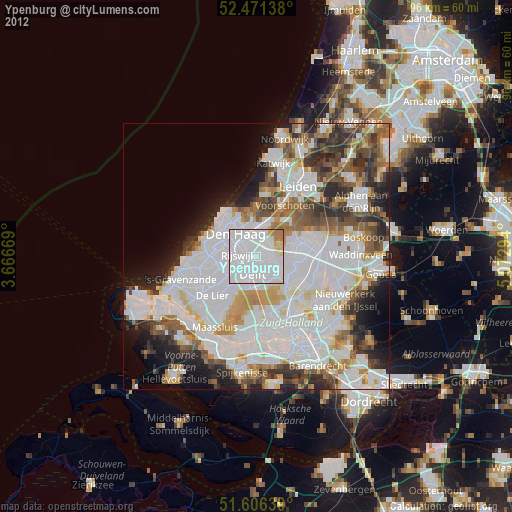
» Earth at Night: Flat Maps 2012, 2016