The Hague night lights from space
Night Light of The Hague (South Holland) from space (Netherlands) Src. Average luminocity for 10x10km area is 85.922% and for 50x50km: 48.3836%.
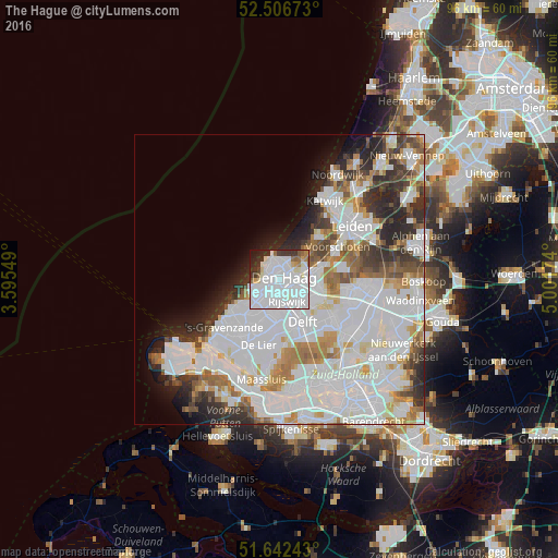
Analysis of The Hague night lights 2016
Square area 10x10 km:
 56.22%
90-99
18.25%80-89
3.44%70-79
1.85%60-69
3.31%50-59
2.65%40-49
0.93%30-39
5.95%20-29
5.42%10-19
1.98%0-9
0%Square area 50x50 km:
21.38%90-99
12.75%80-89
2.58%70-79
3.48%60-69
4.33%50-59
3.11%40-49
2.96%30-39
4.41%20-29
6.34%10-19
4.47%0-9
34.18%Clear (daylight) street map image can be seen on geolist.org.
Map coordinates:
52° 30' 24.2" North, 3° 35' 43.8" East
52° 4' 36" North, 4° 17' 55" East
51° 38' 32.7" North, 5° 0' 6.3" East
Some cities around The Hague sort by population:
• Rijswijk
4.8 km =3 mi,  158°
158°
• Voorburg
4.2 km =2.6 mi,  93°
93°
• Ypenburg
6.3 km =3.9 mi,  129°
129°
• Scheveningen
3.5 km =2.2 mi,  333°
333°
• Statenkwartier
2.4 km =1.5 mi,  319°
319°
• Duindorp
3 km =1.9 mi,  300°
300°
• Poeldijk
8 km =5 mi,  222°
222°
• Vogelwijk
3.5 km =2.2 mi,  269°
269°
2747373 (p: 474,292)
Sources (retrieved 2019-11-25):
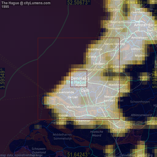
» NASA, Earths city lights 1995
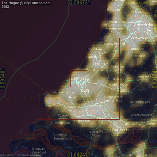
» NASA city lights 2003
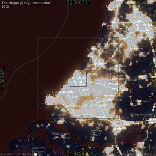
» Earth at Night: Flat Maps 2012, 2016