Rijswijk night lights from space
Night Light of Rijswijk (South Holland) from space (Netherlands) Src. Average luminocity for 10x10km area is 99.5593% and for 50x50km: 52.7531%.
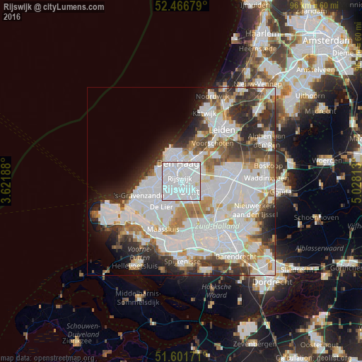
Analysis of Rijswijk night lights 2016
Square area 10x10 km:
 80.43%
90-99
18.81%80-89
0.76%70-79
0%60-69
0%50-59
0%40-49
0%30-39
0%20-29
0%10-19
0%0-9
0%Square area 50x50 km:
22.15%90-99
13.7%80-89
3.14%70-79
3.88%60-69
5.07%50-59
3.72%40-49
3.65%30-39
5.57%20-29
7.49%10-19
5.11%0-9
26.51%Clear (daylight) street map image can be seen on geolist.org.
Map coordinates:
52° 28' 0.4" North, 3° 37' 18.8" East
52° 2' 10.8" North, 4° 19' 30" East
51° 36' 6.2" North, 5° 1' 41.3" East
Some cities around Rijswijk sort by population:
• The Hague
4.8 km =3 mi,  338°
338°
• Delft
3.9 km =2.4 mi,  147°
147°
• Voorburg
4.8 km =3 mi,  29°
29°
• Ypenburg
3.1 km =1.9 mi,  80°
80°
• Pijnacker
7.4 km =4.6 mi,  104°
104°
• Statenkwartier
7.2 km =4.5 mi,  331°
331°
• Poeldijk
7.3 km =4.5 mi,  259°
259°
• Vogelwijk
6.9 km =4.3 mi,  310°
310°
2748076 (p: 47,299)
Sources (retrieved 2019-11-25):
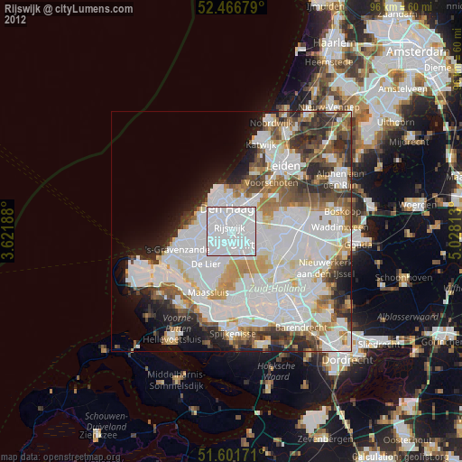
» Earth at Night: Flat Maps 2012, 2016