Voorburg night lights from space
Night Light of Voorburg (South Holland) from space (Netherlands) Src. Average luminocity for 10x10km area is 90.0635% and for 50x50km: 52.7141%.
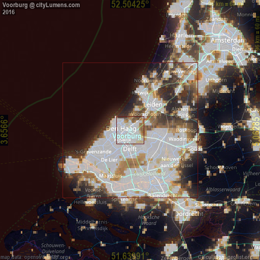
Analysis of Voorburg night lights 2016
Square area 10x10 km:
 47.35%
90-99
25.53%80-89
6.08%70-79
3.44%60-69
9.13%50-59
4.76%40-49
2.38%30-39
1.32%20-29
0%10-19
0%0-9
0%Square area 50x50 km:
22.22%90-99
13.79%80-89
2.93%70-79
3.89%60-69
4.92%50-59
3.74%40-49
3.96%30-39
5.12%20-29
7.89%10-19
5.26%0-9
26.29%Clear (daylight) street map image can be seen on geolist.org.
Map coordinates:
52° 30' 15.3" North, 3° 39' 23.8" East
52° 4' 27" North, 4° 21' 35" East
51° 38' 23.7" North, 5° 3' 46.3" East
Some cities around Voorburg sort by population:
• The Hague
4.2 km =2.6 mi,  273°
273°
• Delft
7.5 km =4.7 mi,  182°
182°
• Rijswijk
4.8 km =3 mi,  209°
209°
• Ypenburg
3.8 km =2.4 mi,  169°
169°
• Scheveningen
6.7 km =4.2 mi,  300°
300°
• Statenkwartier
6.1 km =3.8 mi,  290°
290°
• Duindorp
7 km =4.3 mi, 285°
• Vogelwijk
7.6 km =4.7 mi, 271°
2745321 (p: 38,000)
Sources (retrieved 2019-11-25):
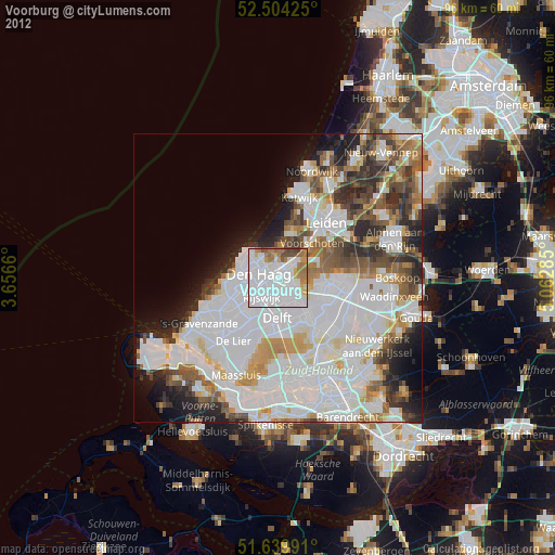
» Earth at Night: Flat Maps 2012, 2016