Wijhe night lights from space
Night Light of Wijhe (Overijssel) from space (Netherlands) Src. Average luminocity for 10x10km area is 1.6023% and for 50x50km: 9.3559%.
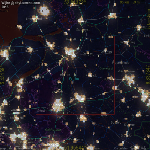
Analysis of Wijhe night lights 2016
Square area 10x10 km:
100  0%
0%
90-99 0%
80-89 0%
70-79 0%
60-69 0%
50-59 0.76%
40-49 0.51%
30-39 1.26%
20-29 0%
10-19 0%
0-9 97.47%
0%90-99
0%80-89
0%70-79
0%60-69
0%50-59
0.76%40-49
0.51%30-39
1.26%20-29
0%10-19
0%0-9
97.47%Square area 50x50 km:
100 1.18%
90-99 1.5%
80-89 0.96%
70-79 1.04%
60-69 1.1%
50-59 1.56%
40-49 0.99%
30-39 0.86%
20-29 2.15%
10-19 7.98%
0-9 80.68%
1.18%90-99
1.5%80-89
0.96%70-79
1.04%60-69
1.1%50-59
1.56%40-49
0.99%30-39
0.86%20-29
2.15%10-19
7.98%0-9
80.68%Clear (daylight) street map image can be seen on geolist.org.
Map coordinates:
52° 48' 49.4" North, 5° 25' 53.7" East
52° 23' 12" North, 6° 8' 5" East
51° 57' 19.6" North, 6° 50' 16.2" East
Some cities around Wijhe sort by population:
• Zwolle
14.3 km =8.9 mi,  348°
348°
• Deventer
14.8 km =9.2 mi,  172°
172°
• Epe
11.2 km =7 mi,  247°
247°
• Raalte
9.5 km =5.9 mi,  90°
90°
• Vaassen
16 km =9.9 mi,  225°
225°
• Hattem
10.9 km =6.8 mi,  333°
333°
• Heerde
6.4 km =4 mi,  270°
270°
• Heino
8.7 km =5.4 mi,  50°
50°
2744489 (p: 5,640)
Sources (retrieved 2019-11-25):
» Earth at Night: Flat Maps 2012, 2016