Deventer night lights from space
Night Light of Deventer (Overijssel) from space (Netherlands) Src. Average luminocity for 10x10km area is 36.4735% and for 50x50km: 7.8519%.
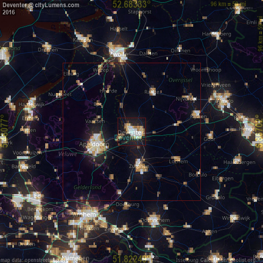
Analysis of Deventer night lights 2016
Square area 10x10 km:
 6.75%
6.75%90-99
7.28%80-89
4.23%70-79
5.03%60-69
2.91%50-59
5.29%40-49
2.25%30-39
3.31%20-29
7.94%10-19
39.29%0-9
15.74%Square area 50x50 km:
0.83%90-99
1.09%80-89
0.73%70-79
0.92%60-69
1.08%50-59
1.29%40-49
0.88%30-39
0.86%20-29
1.6%10-19
7.08%0-9
83.63%Clear (daylight) street map image can be seen on geolist.org.
Map coordinates:
52° 40' 60" North, 5° 27' 38.8" East
52° 15' 18" North, 6° 9' 50" East
51° 49' 21" North, 6° 52' 1.3" East
Some cities around Deventer sort by population:
• Apeldoorn
14.2 km =8.8 mi,  249°
249°
• Zutphen
13.2 km =8.2 mi,  168°
168°
• Twello
4.6 km =2.9 mi,  243°
243°
• Vaassen
13.8 km =8.6 mi,  284°
284°
• Warnsveld
13.8 km =8.6 mi,  160°
160°
• Woudhuis
11.4 km =7.1 mi, 245°
• Matenveld
13.5 km =8.4 mi, 236°
• Matendonk
12.2 km =7.6 mi, 238°
2756987 (p: 97,331)
Sources (retrieved 2019-11-25):
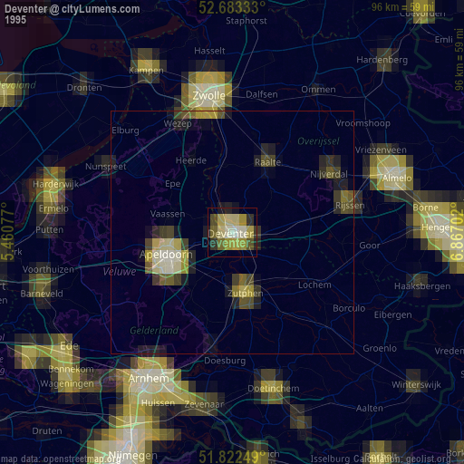
» NASA, Earths city lights 1995
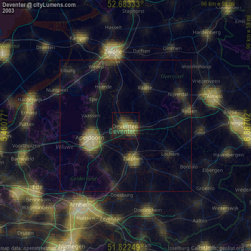
» NASA city lights 2003
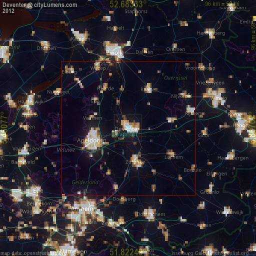
» Earth at Night: Flat Maps 2012, 2016