Made night lights from space
Night Light of Made (North Brabant) from space (Netherlands) Src. Average luminocity for 10x10km area is 33.888% and for 50x50km: 30.4729%.
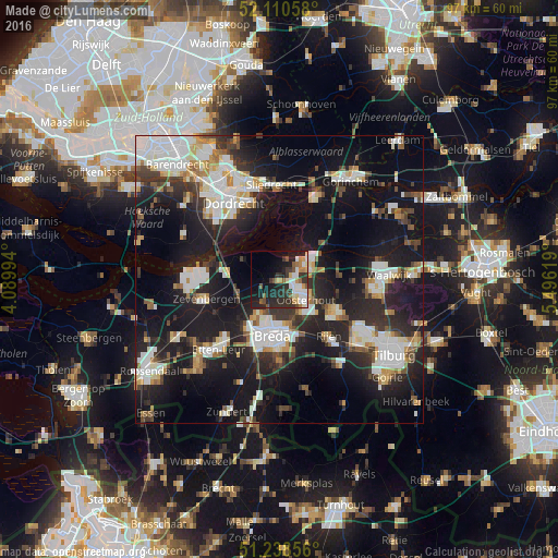
Analysis of Made night lights 2016
Square area 10x10 km:
 6.72%
6.72%90-99
5.88%80-89
3.22%70-79
3.78%60-69
3.08%50-59
5.04%40-49
1.54%30-39
8.4%20-29
17.23%10-19
17.93%0-9
27.17%Square area 50x50 km:
6.38%90-99
6.69%80-89
2.6%70-79
2.47%60-69
2.57%50-59
2.67%40-49
3.19%30-39
4.78%20-29
10.6%10-19
25.04%0-9
33.01%Clear (daylight) street map image can be seen on geolist.org.
Map coordinates:
52° 6' 38.1" North, 4° 5' 23.8" East
51° 40' 36" North, 4° 47' 35" East
51° 14' 18.8" North, 5° 29' 46.3" East
Some cities around Made sort by population:
• Breda
10.1 km =6.3 mi,  186°
186°
• Oosterhout
5.8 km =3.6 mi,  127°
127°
• Geertruidenberg
5.2 km =3.2 mi,  57°
57°
• Hoge Vucht
7.6 km =4.7 mi,  180°
180°
• Teteringen
7.7 km =4.8 mi,  165°
165°
• Raamsdonksveer
6 km =3.7 mi,  68°
68°
• Terheijden
4.6 km =2.9 mi,  215°
215°
• Heusdenhout
10 km =6.2 mi, 169°
2751272 (p: 11,795)
Sources (retrieved 2019-11-25):
» Earth at Night: Flat Maps 2012, 2016