Helmond night lights from space
Night Light of Helmond (North Brabant) from space (Netherlands) Src. Average luminocity for 10x10km area is 46.9519% and for 50x50km: 21.1153%.
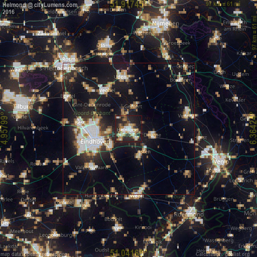

Analysis of Helmond night lights 2016
Square area 10x10 km:
 7.62%
7.62%90-99
8.16%80-89
5.75%70-79
6.68%60-69
7.35%50-59
5.88%40-49
3.88%30-39
7.09%20-29
29.28%10-19
17.11%0-9
1.2%Square area 50x50 km:
3.18%90-99
3.87%80-89
2.01%70-79
2.17%60-69
2.37%50-59
2.75%40-49
2.37%30-39
2.68%20-29
5.62%10-19
20.02%0-9
52.96%Clear (daylight) street map image can be seen on geolist.org.
Map coordinates:
51° 55' 2.8" North, 4° 57' 28.8" East
51° 28' 54" North, 5° 39' 40" East
51° 2' 30" North, 6° 21' 51.3" East
Some cities around Helmond sort by population:
• Geldrop
9.7 km =6 mi,  226°
226°
• Nuenen
7.6 km =4.7 mi,  260°
260°
• Tongelre
10.4 km =6.5 mi,  249°
249°
• Gemert
8.5 km =5.3 mi,  13°
13°
• Mierlo
5.5 km =3.4 mi,  211°
211°
• Coevering
9.3 km =5.8 mi,  219°
219°
• Beek
5.6 km =3.5 mi,  340°
340°
• Aarle-Rixtel
3.5 km =2.2 mi,  333°
333°
2754447 (p: 74,740)
Sources (retrieved 2019-11-25):
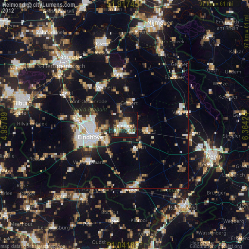
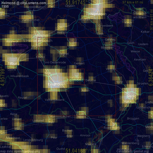
» NASA, Earths city lights 1995
» NASA city lights 2003
» Earth at Night: Flat Maps 2012, 2016