Matenveld night lights from space
Night Light of Matenveld (Gelderland) from space (Netherlands) Src. Average luminocity for 10x10km area is 40.3571% and for 50x50km: 11.6914%.
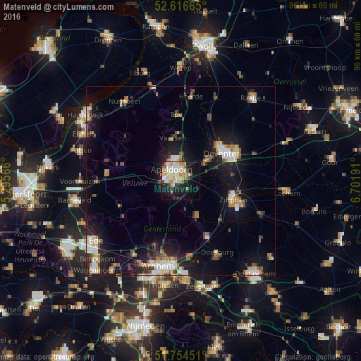
Analysis of Matenveld night lights 2016
Square area 10x10 km:
 5.56%
5.56%90-99
10.98%80-89
7.94%70-79
5.29%60-69
5.42%50-59
2.65%40-49
1.46%30-39
1.46%20-29
11.24%10-19
24.87%0-9
23.15%Square area 50x50 km:
1.57%90-99
1.96%80-89
1.26%70-79
1.19%60-69
1.48%50-59
1.45%40-49
1.34%30-39
1.24%20-29
3.1%10-19
10.35%0-9
75.07%Clear (daylight) street map image can be seen on geolist.org.
Map coordinates:
52° 36' 59.9" North, 5° 17' 44.4" East
52° 11' 15.6" North, 5° 59' 55.6" East
51° 45' 16.2" North, 6° 42' 6.9" East
Some cities around Matenveld sort by population:
• Apeldoorn
3.2 km =2 mi,  321°
321°
• Deventer
13.5 km =8.4 mi,  56°
56°
• Zutphen
14.9 km =9.3 mi,  111°
111°
• Twello
8.9 km =5.5 mi,  52°
52°
• Vaassen
11.1 km =6.9 mi,  348°
348°
• Eerbeek
10 km =6.2 mi,  156°
156°
• Orden
4.7 km =2.9 mi,  288°
288°
• Woudhuis
3 km =1.9 mi,  16°
16°
6621507 (p: 5,895)
Sources (retrieved 2019-11-25):
» Earth at Night: Flat Maps 2012, 2016