Apeldoorn night lights from space
Night Light of Apeldoorn (Gelderland) from space (Netherlands) Src. Average luminocity for 10x10km area is 46.9484% and for 50x50km: 11.4549%.
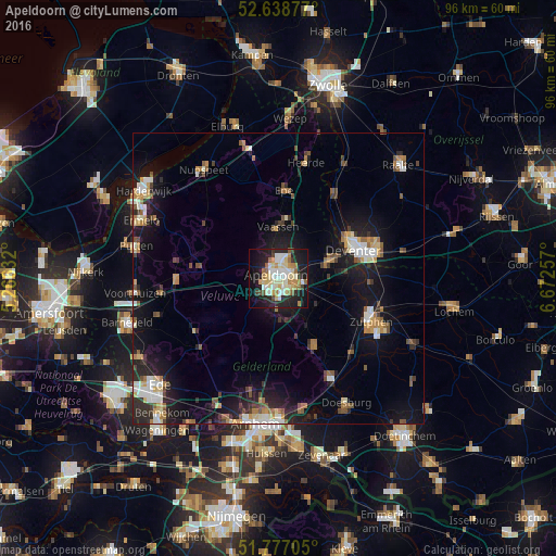
Analysis of Apeldoorn night lights 2016
Square area 10x10 km:
 7.41%
7.41%90-99
12.83%80-89
8.47%70-79
6.61%60-69
5.42%50-59
3.57%40-49
2.38%30-39
2.25%20-29
14.29%10-19
26.46%0-9
10.32%Square area 50x50 km:
1.4%90-99
1.93%80-89
1.16%70-79
1.25%60-69
1.43%50-59
1.5%40-49
1.32%30-39
1.16%20-29
3.33%10-19
10.22%0-9
75.32%Clear (daylight) street map image can be seen on geolist.org.
Map coordinates:
52° 38' 19.6" North, 5° 15' 58.8" East
52° 12' 36" North, 5° 58' 10" East
51° 46' 37.4" North, 6° 40' 21.3" East
Some cities around Apeldoorn sort by population:
• Deventer
14.2 km =8.8 mi,  69°
69°
• Twello
9.6 km =6 mi, 71°
• Vaassen
8.4 km =5.2 mi,  358°
358°
• Eerbeek
13.2 km =8.2 mi,  152°
152°
• Orden
2.6 km =1.6 mi,  247°
247°
• Woudhuis
2.9 km =1.8 mi,  82°
82°
• Matenveld
3.2 km =2 mi,  141°
141°
• Matendonk
3.2 km =2 mi,  115°
115°
2759706 (p: 136,670)
Sources (retrieved 2019-11-25):
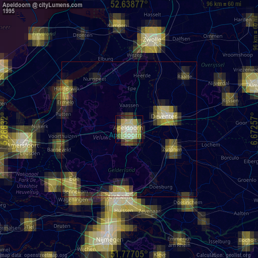
» NASA, Earths city lights 1995
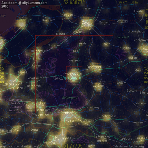
» NASA city lights 2003
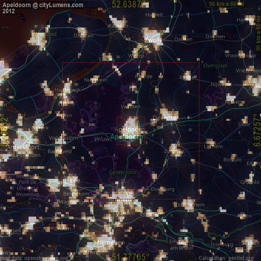
» Earth at Night: Flat Maps 2012, 2016