Arnhem night lights from space
Night Light of Arnhem (Gelderland) from space (Netherlands) Src. Average luminocity for 10x10km area is 57.7437% and for 50x50km: 20.3567%.
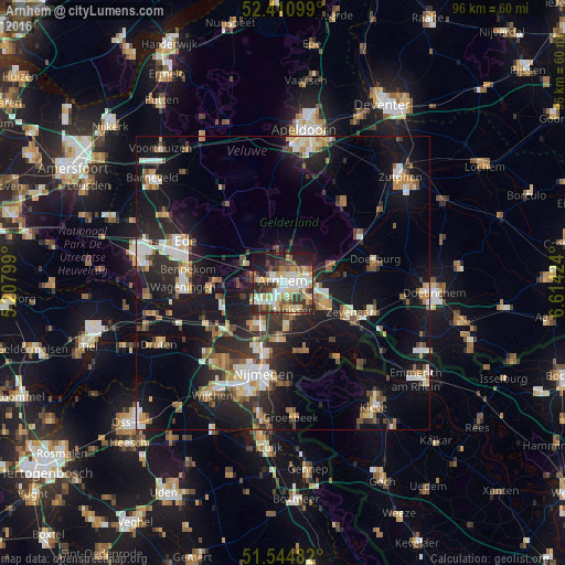
Analysis of Arnhem night lights 2016
Square area 10x10 km:
 10.86%
90-99
12.88%80-89
10.86%70-79
8.08%60-69
6.82%50-59
5.05%40-49
6.57%30-39
9.72%20-29
18.18%10-19
10.23%0-9
0.76%Square area 50x50 km:
2.67%90-99
3.41%80-89
2.15%70-79
2.17%60-69
2.65%50-59
2.76%40-49
2.37%30-39
2.8%20-29
6.95%10-19
18.44%0-9
53.64%Clear (daylight) street map image can be seen on geolist.org.
Map coordinates:
52° 24' 39.6" North, 5° 12' 28.8" East
51° 58' 48" North, 5° 54' 40" East
51° 32' 41.4" North, 6° 36' 51.3" East
Some cities around Arnhem sort by population:
• Duiven
8 km =5 mi,  117°
117°
• Elst
8.3 km =5.2 mi,  215°
215°
• Velp
4.6 km =2.9 mi,  68°
68°
• Bemmel
9.9 km =6.2 mi,  184°
184°
• Oosterbeek
4.5 km =2.8 mi,  278°
278°
• Rheden
8.5 km =5.3 mi, 71°
• Westervoort
5 km =3.1 mi, 122°
• Gendt
12.1 km =7.5 mi,  160°
160°
2759661 (p: 141,674)
Sources (retrieved 2019-11-25):
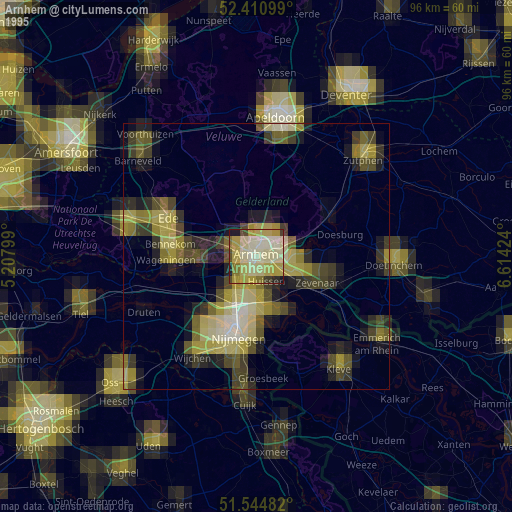
» NASA, Earths city lights 1995
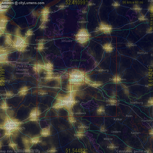
» NASA city lights 2003
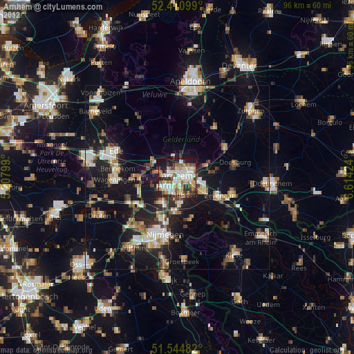
» Earth at Night: Flat Maps 2012, 2016