Juigalpa night lights from space
Night Light of Juigalpa (Chontales) from space (Nicaragua) Src. Average luminocity for 10x10km area is 9.4525% and for 50x50km: 0.6056%.
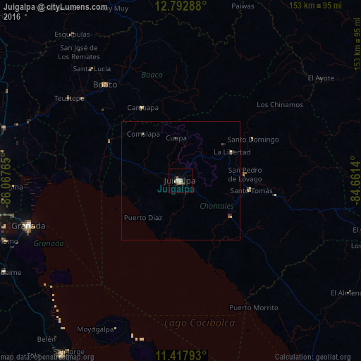
Analysis of Juigalpa night lights 2016
Square area 10x10 km:
 1.03%
1.03%90-99
2.07%80-89
1.86%70-79
0.83%60-69
0.62%50-59
2.27%40-49
1.03%30-39
0.21%20-29
0.83%10-19
0.83%0-9
88.43%Square area 50x50 km:
0.04%90-99
0.11%80-89
0.15%70-79
0.03%60-69
0.06%50-59
0.13%40-49
0.1%30-39
0.05%20-29
0.07%10-19
0.1%0-9
99.16%Clear (daylight) street map image can be seen on geolist.org.
Map coordinates:
12° 47' 34.4" North, 86° 4' 3.5" West
12° 6' 22.6" North, 85° 21' 52.3" West
11° 25' 4.5" North, 84° 39' 41" West
Some cities around Juigalpa sort by population:
• Boaco
51.7 km =32.1 mi,  321°
321°
• Camoapa
34.8 km =21.6 mi,  332°
332°
• Santo Tomás
30.1 km =18.7 mi,  97°
97°
• Acoyapa
25.9 km =16.1 mi,  125°
125°
• San Lorenzo
44.6 km =27.7 mi,  312°
312°
• Villa Sandino
40.8 km =25.4 mi, 99°
• Santo Domingo
35.3 km =21.9 mi,  60°
60°
• El Ayote
12.6 km =7.8 mi,  41°
41°
3618908 (p: 50,000)
Sources (retrieved 2019-11-25):
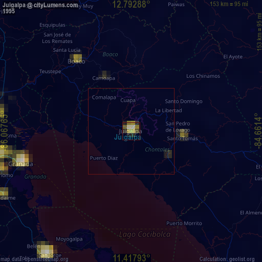
» NASA, Earths city lights 1995
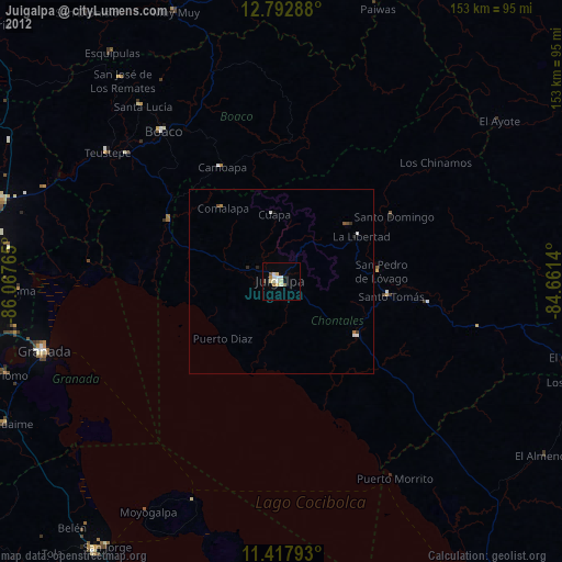
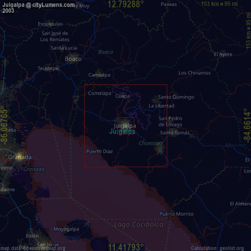
» NASA city lights 2003
» Earth at Night: Flat Maps 2012, 2016