Camoapa night lights from space
Night Light of Camoapa (Boaco) from space (Nicaragua) Src. Average luminocity for 10x10km area is 1.7562% and for 50x50km: 0.385%.
Analysis of Camoapa night lights 2016
Square area 10x10 km:
 0%
0%90-99
0.62%80-89
0.21%70-79
0.83%60-69
0%50-59
0%40-49
0.41%30-39
0.41%20-29
0%10-19
0%0-9
97.52%Square area 50x50 km:
0%90-99
0.03%80-89
0.06%70-79
0.09%60-69
0.13%50-59
0.06%40-49
0.11%30-39
0.08%20-29
0.03%10-19
0.08%0-9
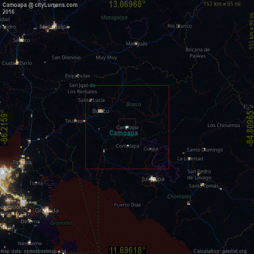
99.34%Clear (daylight) street map image can be seen on geolist.org.
Map coordinates:
13° 4' 10.8" North, 86° 12' 57.2" West
12° 23' 1.8" North, 85° 30' 46" West
11° 41' 46.2" North, 84° 48' 34.7" West
Some cities around Camoapa sort by population:
• Juigalpa
34.8 km =21.6 mi,  152°
152°
• Boaco
18.6 km =11.6 mi,  301°
301°
• Santo Tomás
57.7 km =35.9 mi,  127°
127°
• Acoyapa
59.1 km =36.7 mi,  141°
141°
• Matiguás
50.7 km =31.5 mi,  6°
6°
• San Lorenzo
16.7 km =10.4 mi,  267°
267°
• Santo Domingo
48.6 km =30.2 mi,  105°
105°
• El Ayote
32.6 km =20.3 mi, 131°
3620544 (p: 16,653)
Sources (retrieved 2019-11-25):
» Earth at Night: Flat Maps 2012, 2016