Boaco night lights from space
Night Light of Boaco from space (Nicaragua) Src. Average luminocity for 10x10km area is 3.8079% and for 50x50km: 0.4988%.
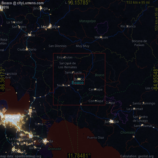
Analysis of Boaco night lights 2016
Square area 10x10 km:
 0%
0%90-99
0%80-89
0.41%70-79
1.45%60-69
1.45%50-59
0.83%40-49
0.83%30-39
0%20-29
0.62%10-19
0.21%0-9
94.21%Square area 50x50 km:
0%90-99
0.03%80-89
0.06%70-79
0.14%60-69
0.14%50-59
0.09%40-49
0.14%30-39
0.13%20-29
0.07%10-19
0.08%0-9
99.12%Clear (daylight) street map image can be seen on geolist.org.
Map coordinates:
13° 9' 28.3" North, 86° 21' 42.2" West
12° 28' 20.1" North, 85° 39' 31" West
11° 47' 5.3" North, 84° 57' 19.7" West
Some cities around Boaco sort by population:
• Matagalpa
57.7 km =35.9 mi,  330°
330°
• Tipitapa
56.6 km =35.2 mi,  237°
237°
• Juigalpa
51.7 km =32.1 mi,  141°
141°
• Camoapa
18.6 km =11.6 mi,  121°
121°
• Ciudad Darío
58.1 km =36.1 mi,  299°
299°
• Matiguás
45.8 km =28.5 mi,  27°
27°
• San Lorenzo
10.5 km =6.5 mi,  184°
184°
• El Ayote
51.1 km =31.8 mi,  127°
127°
3620674 (p: 29,046)
Sources (retrieved 2019-11-25):
» Earth at Night: Flat Maps 2012, 2016