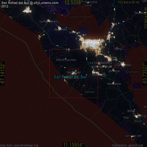
San Rafael del Sur night lights from space
Night Light of San Rafael del Sur (Managua) from space (Nicaragua) Src. Average luminocity for 10x10km area is 7.6963% and for 50x50km: 2.9045%.

Analysis of San Rafael del Sur night lights 2016
Square area 10x10 km:
 0%
0%90-99
1.24%80-89
2.27%70-79
1.45%60-69
1.65%50-59
0%40-49
1.24%30-39
1.24%20-29
0.83%10-19
0%0-9
90.08%Square area 50x50 km:
0.06%90-99
0.2%80-89
0.5%70-79
0.47%60-69
0.46%50-59
0.34%40-49
0.51%30-39
0.65%20-29
0.88%10-19
2.44%0-9
93.48%Clear (daylight) street map image can be seen on geolist.org.
Map coordinates:
12° 32' 8.9" North, 87° 8' 29.5" West
11° 50' 54.7" North, 86° 26' 18.2" West
11° 9' 34.3" North, 85° 44' 7" West
Some cities around San Rafael del Sur sort by population:
• Diriamba
21.7 km =13.5 mi,  87°
87°
• Jinotepe
26 km =16.2 mi, 89°
• San Marcos
26.4 km =16.4 mi,  75°
75°
• El Crucero
21.1 km =13.1 mi,  41°
41°
• Dolores
24.3 km =15.1 mi, 87°
• La Concepción
28.8 km =17.9 mi,  69°
69°
• Santa Teresa
27.1 km =16.8 mi,  115°
115°
• Villa El Carmen
16.4 km =10.2 mi,  333°
333°
3616594 (p: 29,836)
Sources (retrieved 2019-11-25):
» Earth at Night: Flat Maps 2012, 2016