Jinotepe night lights from space
Night Light of Jinotepe (Carazo) from space (Nicaragua) Src. Average luminocity for 10x10km area is 24.2273% and for 50x50km: 8.6301%.
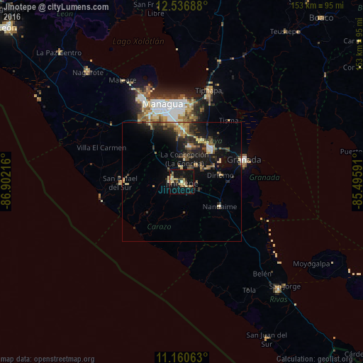
Analysis of Jinotepe night lights 2016
Square area 10x10 km:
 0.41%
0.41%90-99
2.27%80-89
3.72%70-79
5.17%60-69
3.93%50-59
4.13%40-49
2.07%30-39
3.51%20-29
5.58%10-19
33.06%0-9
36.16%Square area 50x50 km:
0.34%90-99
0.73%80-89
1.2%70-79
1.1%60-69
1.44%50-59
1.27%40-49
1.43%30-39
2.08%20-29
3.14%10-19
8.5%0-9
78.77%Clear (daylight) street map image can be seen on geolist.org.
Map coordinates:
12° 32' 12.8" North, 86° 54' 7.8" West
11° 50' 58.6" North, 86° 11' 56.5" West
11° 9' 38.3" North, 85° 29' 45.3" West
Some cities around Jinotepe sort by population:
• Diriamba
4.5 km =2.8 mi,  282°
282°
• San Marcos
6.7 km =4.2 mi,  355°
355°
• Masatepe
9.3 km =5.8 mi,  39°
39°
• Niquinohomo
12.9 km =8 mi,  61°
61°
• Dolores
2 km =1.2 mi,  293°
293°
• La Concepción
9.8 km =6.1 mi,  5°
5°
• Nandasmo
11.9 km =7.4 mi,  45°
45°
• Santa Teresa
11.9 km =7.4 mi,  187°
187°
3618926 (p: 29,507)
Sources (retrieved 2019-11-25):
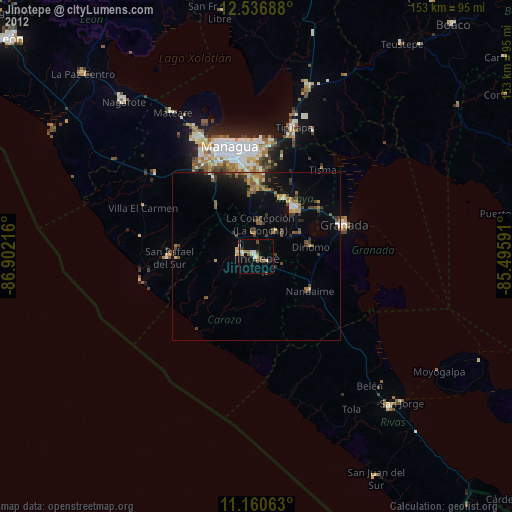
» Earth at Night: Flat Maps 2012, 2016