Nandaime night lights from space
Night Light of Nandaime (Granada) from space (Nicaragua) Src. Average luminocity for 10x10km area is 2.8017% and for 50x50km: 5.4295%.
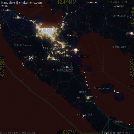
Analysis of Nandaime night lights 2016
Square area 10x10 km:
 0.41%
0.41%90-99
0.41%80-89
0.83%70-79
0%60-69
0%50-59
0%40-49
0.83%30-39
1.45%20-29
0.83%10-19
0.21%0-9
95.04%Square area 50x50 km:
0.23%90-99
0.59%80-89
0.92%70-79
0.49%60-69
0.75%50-59
0.88%40-49
0.83%30-39
1.03%20-29
1.26%10-19
5.38%0-9
87.64%Clear (daylight) street map image can be seen on geolist.org.
Map coordinates:
12° 26' 40.1" North, 86° 45' 21.6" West
11° 45' 25.1" North, 86° 3' 10.3" West
11° 4' 3.9" North, 85° 20' 59.1" West
Some cities around Nandaime sort by population:
• Granada
21.9 km =13.6 mi,  28°
28°
• Diriamba
23.2 km =14.4 mi,  299°
299°
• Jinotepe
19 km =11.8 mi, 302°
• Masatepe
20.2 km =12.6 mi,  330°
330°
• Diriomo
13.3 km =8.3 mi,  0°
0°
• Niquinohomo
17.1 km =10.6 mi,  344°
344°
• Dolores
20.9 km =13 mi, 302°
• Santa Teresa
17.6 km =10.9 mi,  265°
265°
3617513 (p: 20,810)
Sources (retrieved 2019-11-25):
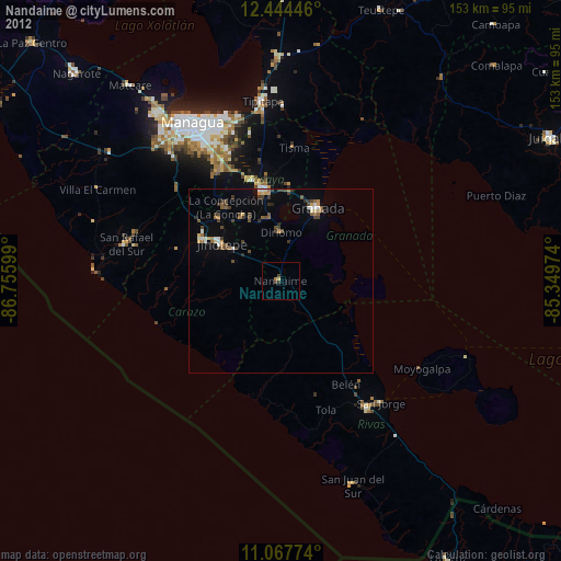
» Earth at Night: Flat Maps 2012, 2016