Granada night lights from space
Night Light of Granada from space (Nicaragua) Src. Average luminocity for 10x10km area is 19.3326% and for 50x50km: 6.8414%.
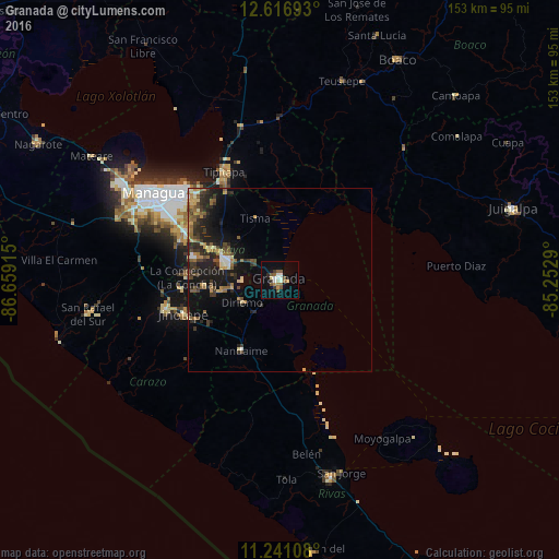
Analysis of Granada night lights 2016
Square area 10x10 km:
 1.65%
1.65%90-99
4.13%80-89
1.65%70-79
1.24%60-69
2.48%50-59
6.4%40-49
1.45%30-39
1.65%20-29
1.65%10-19
6.61%0-9
71.07%Square area 50x50 km:
0.37%90-99
0.6%80-89
0.8%70-79
0.76%60-69
1.06%50-59
1.52%40-49
1.05%30-39
1.6%20-29
2.59%10-19
5.79%0-9
83.86%Clear (daylight) street map image can be seen on geolist.org.
Map coordinates:
12° 37' 0.9" North, 86° 39' 32.9" West
11° 55' 47.6" North, 85° 57' 21.7" West
11° 14' 27.9" North, 85° 15' 10.4" West
Some cities around Granada sort by population:
• Masaya
15.8 km =9.8 mi,  288°
288°
• Masatepe
20.6 km =12.8 mi,  265°
265°
• Nandaime
21.9 km =13.6 mi,  208°
208°
• Diriomo
12 km =7.5 mi,  240°
240°
• Niquinohomo
15.3 km =9.5 mi,  259°
259°
• Nindirí
19.8 km =12.3 mi, 294°
• Nandasmo
17.9 km =11.1 mi, 267°
• Tisma
18.2 km =11.3 mi,  338°
338°
3619136 (p: 89,409)
Sources (retrieved 2019-11-25):
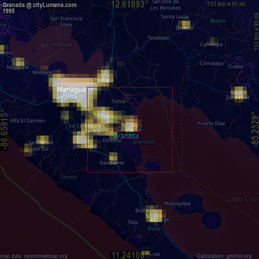
» NASA, Earths city lights 1995
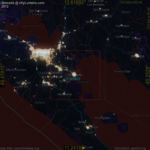
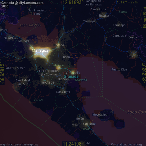
» NASA city lights 2003
» Earth at Night: Flat Maps 2012, 2016