Matagalpa night lights from space
Night Light of Matagalpa from space (Nicaragua) Src. Average luminocity for 10x10km area is 12.8745% and for 50x50km: 1.5026%.
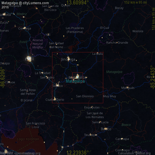
Analysis of Matagalpa night lights 2016
Square area 10x10 km:
 0.65%
0.65%90-99
1.08%80-89
1.73%70-79
3.46%60-69
3.25%50-59
1.08%40-49
2.16%30-39
1.3%20-29
0.87%10-19
0.87%0-9
83.55%Square area 50x50 km:
0.04%90-99
0.17%80-89
0.18%70-79
0.35%60-69
0.3%50-59
0.22%40-49
0.24%30-39
0.37%20-29
0.15%10-19
0.12%0-9
97.86%Clear (daylight) street map image can be seen on geolist.org.
Map coordinates:
13° 36' 35.8" North, 86° 37' 14.2" West
12° 55' 32.1" North, 85° 55' 2.9" West
12° 14' 21.7" North, 85° 12' 51.7" West
Some cities around Matagalpa sort by population:
• Estelí
50.8 km =31.6 mi,  291°
291°
• Jinotega
20.6 km =12.8 mi,  333°
333°
• Boaco
57.7 km =35.9 mi,  150°
150°
• Ciudad Darío
31.1 km =19.3 mi,  226°
226°
• Matiguás
50.3 km =31.3 mi,  101°
101°
• San Lorenzo
66.7 km =41.4 mi,  155°
155°
• Las Praderas
28.1 km =17.5 mi,  15°
15°
• San Rafael del Norte
38.2 km =23.7 mi, 326°
3617708 (p: 109,089)
Sources (retrieved 2019-11-25):
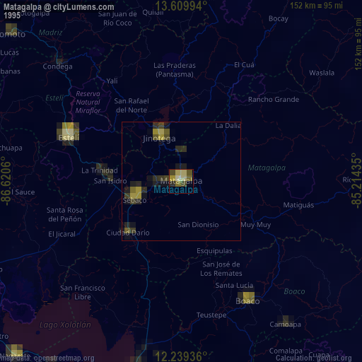
» NASA, Earths city lights 1995
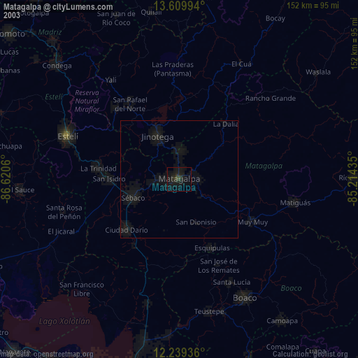
» NASA city lights 2003
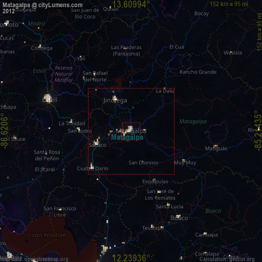
» Earth at Night: Flat Maps 2012, 2016