San Marcos de Colón night lights from space
Night Light of San Marcos de Colón (Choluteca) from space (Honduras) Src. Average luminocity for 10x10km area is 3.8037% and for 50x50km: 0.4877%.
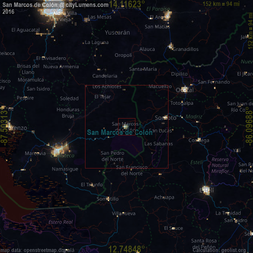
Analysis of San Marcos de Colón night lights 2016
Square area 10x10 km:
 0.62%
0.62%90-99
0.21%80-89
0%70-79
0%60-69
1.65%50-59
0.83%40-49
0.83%30-39
0.83%20-29
1.45%10-19
0.21%0-9
93.39%Square area 50x50 km:
0.04%90-99
0.02%80-89
0.03%70-79
0.07%60-69
0.07%50-59
0.08%40-49
0.12%30-39
0.15%20-29
0.31%10-19
0.07%0-9
99.04%Clear (daylight) street map image can be seen on geolist.org.
Map coordinates:
14° 6' 58.4" North, 87° 30' 11.3" West
13° 25' 60" North, 86° 48' 0" West
12° 44' 54.5" North, 86° 5' 48.8" West
Some cities around San Marcos de Colón sort by population:
• Ciudad Choluteca
44.8 km =27.8 mi,  250°
250°
• Ocotal, NI
41.5 km =25.8 mi,  57°
57°
• Somoto, NI
24.1 km =15 mi,  77°
77°
• El Paraíso
55.2 km =34.3 mi,  29°
29°
• Somotillo, NI
44.8 km =27.8 mi,  194°
194°
• Condega, NI
44.1 km =27.4 mi,  99°
99°
• El Triunfo
41.3 km =25.7 mi,  211°
211°
• Yuscarán
57.1 km =35.5 mi,  354°
354°
3601888 (p: 8,821)
Sources (retrieved 2019-11-25):
» Earth at Night: Flat Maps 2012, 2016