Masatepe night lights from space
Night Light of Masatepe (Masaya) from space (Nicaragua) Src. Average luminocity for 10x10km area is 21.5558% and for 50x50km: 14.7488%.
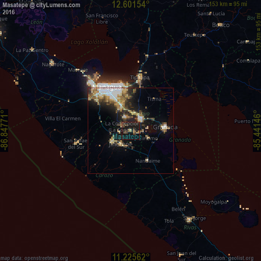
Analysis of Masatepe night lights 2016
Square area 10x10 km:
 0%
0%90-99
0%80-89
1.86%70-79
1.65%60-69
3.51%50-59
3.93%40-49
5.99%30-39
7.02%20-29
4.55%10-19
49.17%0-9
22.31%Square area 50x50 km:
2.17%90-99
2.2%80-89
1.92%70-79
1.73%60-69
2.28%50-59
2.43%40-49
1.84%30-39
2.4%20-29
3.69%10-19
9.03%0-9
70.32%Clear (daylight) street map image can be seen on geolist.org.
Map coordinates:
12° 36' 5.5" North, 86° 50' 51.8" West
11° 54' 52" North, 86° 8' 40.5" West
11° 13' 32.2" North, 85° 26' 29.3" West
Some cities around Masatepe sort by population:
• Masaya
8.6 km =5.3 mi,  39°
39°
• Jinotepe
9.3 km =5.8 mi,  219°
219°
• San Marcos
6.4 km =4 mi,  265°
265°
• Niquinohomo
5.5 km =3.4 mi,  100°
100°
• Nindirí
10.3 km =6.4 mi,  14°
14°
• Dolores
10 km =6.2 mi,  230°
230°
• La Concepción
5.5 km =3.4 mi,  297°
297°
• Nandasmo
2.8 km =1.7 mi,  67°
67°
3617725 (p: 21,452)
Sources (retrieved 2019-11-25):
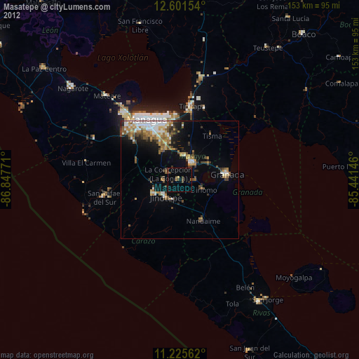
» Earth at Night: Flat Maps 2012, 2016