Zaria night lights from space
Night Light of Zaria (Kaduna) from space (Nigeria) Src. Average luminocity for 10x10km area is 43.6277% and for 50x50km: 3.3065%.
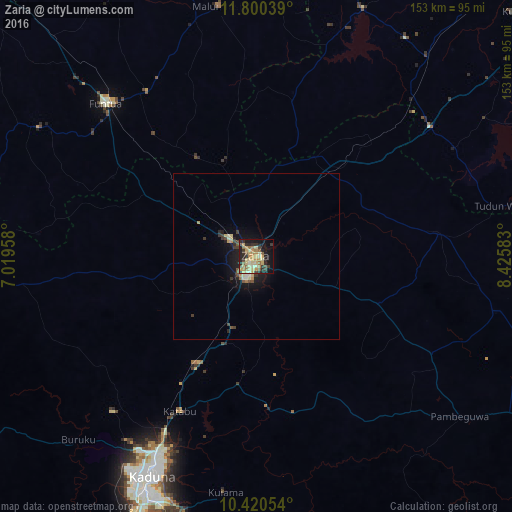
Analysis of Zaria night lights 2016
Square area 10x10 km:
 0%
0%90-99
4.33%80-89
14.07%70-79
11.69%60-69
7.14%50-59
5.41%40-49
3.46%30-39
8.01%20-29
13.85%10-19
23.16%0-9
8.87%Square area 50x50 km:
0%90-99
0.39%80-89
0.79%70-79
0.64%60-69
0.34%50-59
0.35%40-49
0.42%30-39
0.71%20-29
0.8%10-19
2.97%0-9
92.59%Clear (daylight) street map image can be seen on geolist.org.
Map coordinates:
11° 48' 1.4" North, 7° 1' 10.5" East
11° 6' 40.6" North, 7° 43' 21.7" East
10° 25' 13.9" North, 8° 25' 33" East
Some cities around Zaria sort by population:
• Funtua
64.1 km =39.8 mi,  315°
315°
• Dutsen Wai
59.6 km =37 mi,  119°
119°
• Soba
39.3 km =24.4 mi,  111°
111°
• Bakori
59.2 km =36.8 mi,  326°
326°
• Danja
34.4 km =21.4 mi, 329°
• Igabi
34 km =21.1 mi,  181°
181°
• Hunkuyi
19.1 km =11.9 mi,  335°
335°
• Dan Gora
66.4 km =41.3 mi,  44°
44°
2317765 (p: 975,153)
Sources (retrieved 2019-11-25):
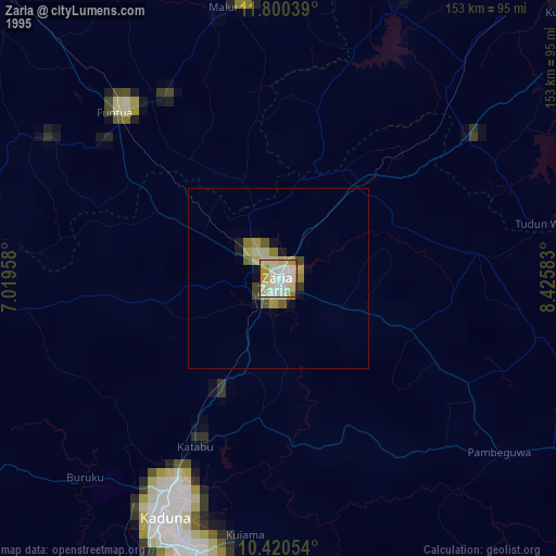
» NASA, Earths city lights 1995
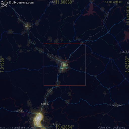
» NASA city lights 2003
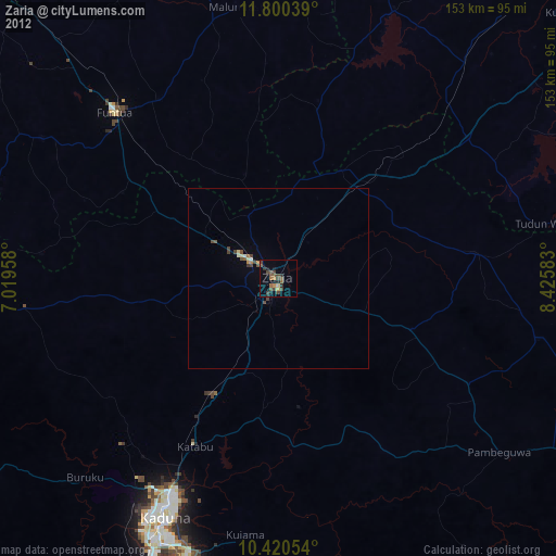
» Earth at Night: Flat Maps 2012, 2016