Funtua night lights from space
Night Light of Funtua (Katsina) from space (Nigeria) Src. Average luminocity for 10x10km area is 20.5801% and for 50x50km: 1.131%.
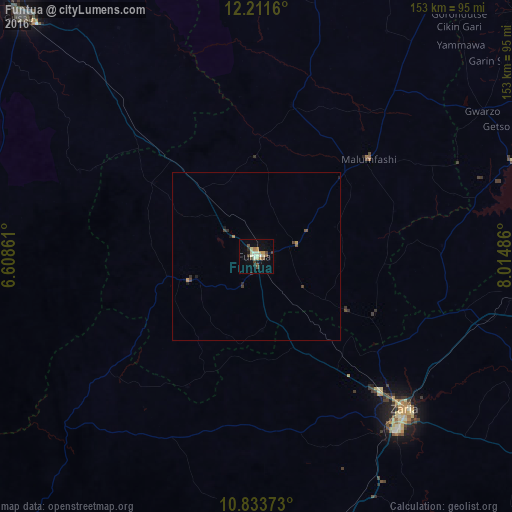
Analysis of Funtua night lights 2016
Square area 10x10 km:
 0%
0%90-99
5.63%80-89
3.9%70-79
2.6%60-69
1.73%50-59
2.16%40-49
5.63%30-39
0.43%20-29
1.73%10-19
7.58%0-9
68.61%Square area 50x50 km:
0%90-99
0.22%80-89
0.15%70-79
0.16%60-69
0.11%50-59
0.15%40-49
0.34%30-39
0.13%20-29
0.18%10-19
0.41%0-9
98.16%Clear (daylight) street map image can be seen on geolist.org.
Map coordinates:
12° 12' 41.8" North, 6° 36' 31" East
11° 31' 24.6" North, 7° 18' 42.3" East
10° 50' 1.4" North, 8° 0' 53.5" East
Some cities around Funtua sort by population:
• Zaria
64.1 km =39.8 mi,  135°
135°
• Malumfashi
44.8 km =27.8 mi,  48°
48°
• Sauri
61.8 km =38.4 mi,  291°
291°
• Bakori
12.8 km =8 mi,  73°
73°
• Danja
31.7 km =19.7 mi,  120°
120°
• Kankara
46.6 km =29 mi,  13°
13°
• Hunkuyi
46.6 km =29 mi,  127°
127°
• Gora
57.9 km =36 mi,  41°
41°
2342490 (p: 136,811)
Sources (retrieved 2019-11-25):
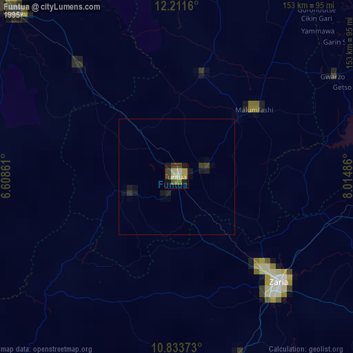
» NASA, Earths city lights 1995
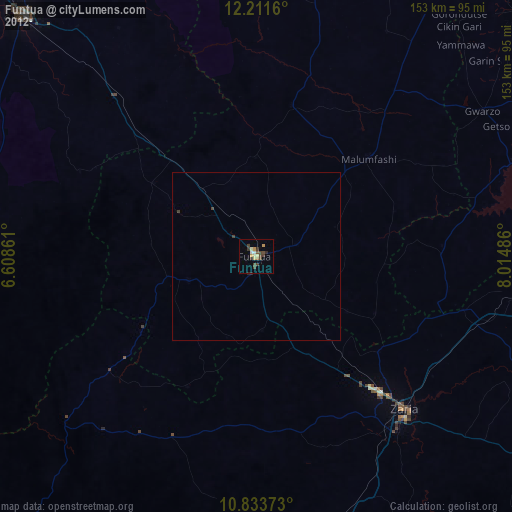
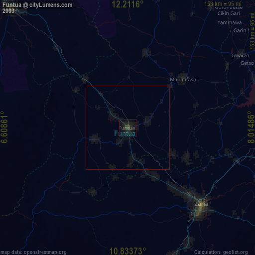
» NASA city lights 2003
» Earth at Night: Flat Maps 2012, 2016